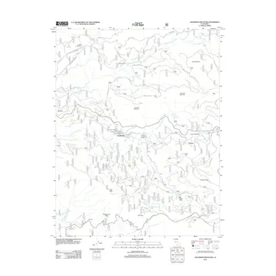
2012 Map of Ascension Mountain
USGS Topo · Published 2012About this map
Middle Tuolumne River and the S Fork Tuolumne River carve through the high country of Tuolumne County on this 2012 survey. The landscape is defined by its recreation and infrastructure, featuring several established sites like Sweetwater Campground and the Berkeley Tuolumne Campground. Near the center of the map, the small community of Harden Flat sits at the junction of the Hardin Flat Rd and the main thoroughfare leading toward the park boundary.
Find a feature on this map
49 named features on this map. Tap any name to fly to it.
Don’t see what you’re looking for? This feature index may not catch every label — zoom into the map to look around manually.
Map Details
Editions of this 2012 Ascension Mountain Map
This is the sole edition of this map. No revisions or reprints were ever made.
Other maps of this area

1893 · Sonora
USGS Topo · 1:125,000

1896 · Sonora
USGS Topo · 1:125,000

1897 · Sonora
USGS Topo · 1:125,000

1897 · Yosemite
USGS Topo · 1:125,000

1898 · Sonora
USGS Topo · 1:125,000

1900 · Yosemite
USGS Topo · 1:125,000

1903 · Yosemite
USGS Topo · 1:125,000

1909 · Yosemite
USGS Topo · 1:125,000

1947 · El Portal
USGS Topo · 1:24,000

1947 · San Jose
USGS Topo · 1:250,000