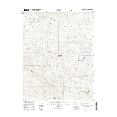
2015 Map of Ascension Mountain
USGS Topo · Published 2015About this map
The Middle Tuolumne River and S Fork Tuolumne River carve through this high-country landscape in the Stanislaus National Forest. Settlements like Harden Flat and Sequoia are situated along Big Oak Flat Rd, reflecting the historical development of transit routes toward the high Sierra. The Hetch Hetchy Aqueduct cuts across the northern terrain near Gravel Range, a critical piece of water infrastructure that transformed the California landscape. High peaks and ridgelines, including Ascension Mountain and Pilot Ridge, define the complex topography, while named meadows such as Crocker Meadow and Jones Meadow provide ecological and historical landmarks. Further south, the boundary between Tuolumne Co Mariposa Co passes near Pilot Peak, where Montgomery Gulch and the N Fork Merced River begin to drain toward the Merced basin, illustrating the region's position as a major drainage divide.
Find a feature on this map
43 named features on this map. Tap any name to fly to it.
Don’t see what you’re looking for? This feature index may not catch every label — zoom into the map to look around manually.
Map Details
Editions of this 2015 Ascension Mountain Map
This is the sole edition of this map. No revisions or reprints were ever made.
Other maps of this area

1893 · Sonora
USGS Topo · 1:125,000

1896 · Sonora
USGS Topo · 1:125,000

1897 · Sonora
USGS Topo · 1:125,000

1897 · Yosemite
USGS Topo · 1:125,000

1898 · Sonora
USGS Topo · 1:125,000

1900 · Yosemite
USGS Topo · 1:125,000

1903 · Yosemite
USGS Topo · 1:125,000

1909 · Yosemite
USGS Topo · 1:125,000

1947 · El Portal
USGS Topo · 1:24,000

1947 · San Jose
USGS Topo · 1:250,000