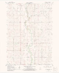
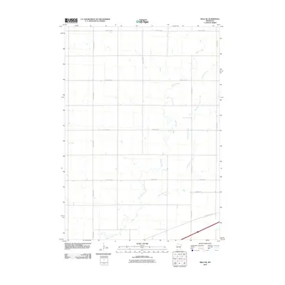
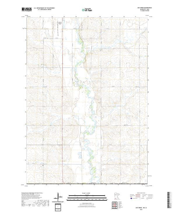
1967 Map of Ash Creek
USGS Topo · Published 1988About this map
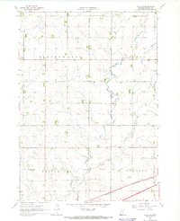
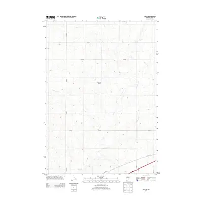
Ash Creek sits at the heart of this late-1960s survey, marking the intersection of the Rock River valley and a network of agricultural townships including Clinton and Kanaranzi. The landscape is defined by the drainage patterns of Elk Creek and its eponymous tributary, where the Illinois Central Railroad and Chicago and North Western Railroad once cut through the prairie to support local grain and livestock transport. Rural life is anchored by landmarks like School No 1839, Ebenezer Ch, and Eastside Cem near the state line. The map highlights the transition from Rock County, Minnesota, into Lyon County, Iowa, showing how the river’s course influenced settlement boundaries and the placement of early infrastructure like the local Gravel Pits.
Find a feature on this map
17 named features on this map. Tap any name to fly to it.
Don’t see what you’re looking for? This feature index may not catch every label — zoom into the map to look around manually.
Map Details
Editions of this 1967 Ash Creek Map
2 editions found
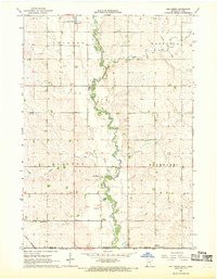
Historical Maps of Clinton Township Through Time
25 maps found
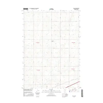
1967 Ash Creek
Rock County, MN
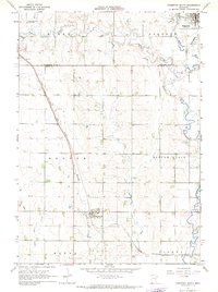
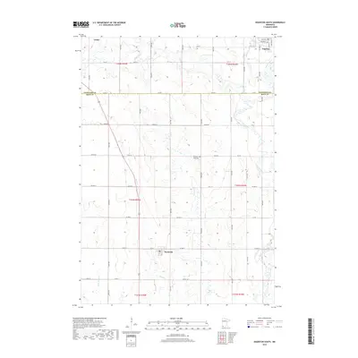
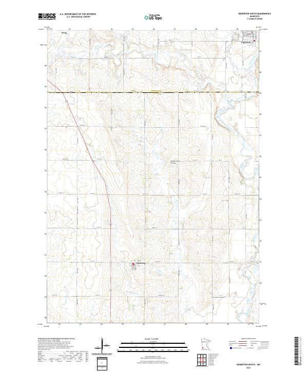
1967 Edgerton South
Rock County, MN
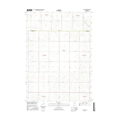
1967 Garretson East
Rock County, MN
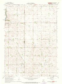
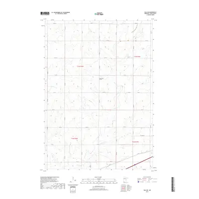
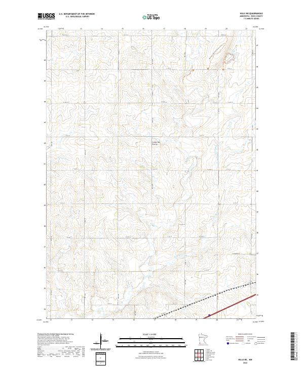
1967 Hills NE
Rock County, MN
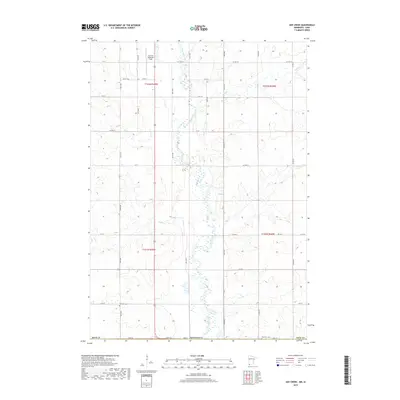
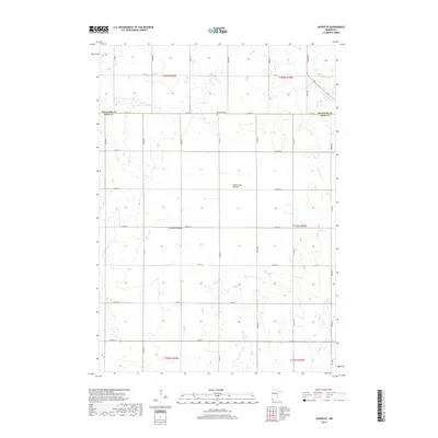
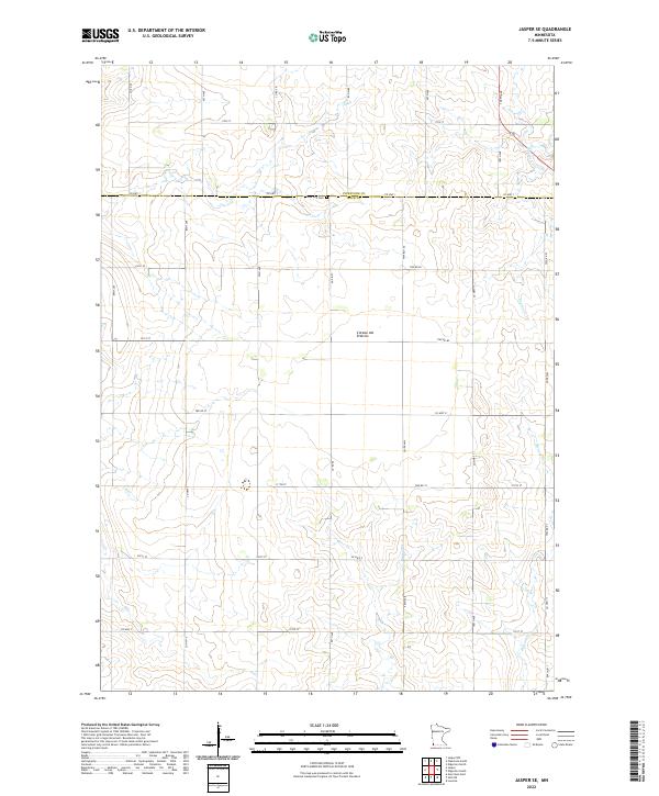
1967 Jasper SE
Rock County, MN
2010 Ash Creek
Rock County, MN
2010 Edgerton South
Rock County, MN
2010 Hills NE
Rock County, MN
2010 Jasper SE
Rock County, MN
2013 Ash Creek
Rock County, MN
2013 Edgerton South
Rock County, MN
2013 Hills NE
Rock County, MN
2013 Jasper SE
Rock County, MN
2016 Ash Creek
Rock County, MN
2016 Edgerton South
Rock County, MN
2016 Hills NE
Rock County, MN
2016 Jasper SE
Rock County, MN
2019 Ash Creek
Rock County, MN
2019 Edgerton South
Rock County, MN
2019 Hills NE
Rock County, MN
2019 Jasper SE
Rock County, MN
2022 Ash Creek
Rock County, MN
2022 Edgerton South
Rock County, MN
2022 Hills NE
Rock County, MN
2022 Jasper SE
Rock County, MN
Featured Locations
- Magnolia Township, MN
- Clinton Township, MN
- Kanaranzi Township, MN
- Allison Township, IA
- Ash Creek, Clinton Township