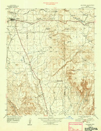
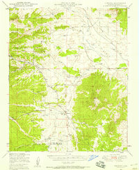
1948 Map of Ash Fork
USGS Topo · Published 1948About this map
Ashfork stands as a primary railroad hub where the Atchison Topeka & Santa Fe snakes through Johnson Canyon. This 1948 administrative survey by the Forest Service captures a landscape defined by the intersection of industrial transit and high-desert ranching. Stock raising is evidenced by a sophisticated network of water improvements, including Irishman Dam, McLellan Res, and the curiously named Rabbit Bill Tank. These water sources supported operations like the Quarter Circle XX Ranch and Evans Ranch.
Find a feature on this map
44 named features on this map. Tap any name to fly to it.
Don’t see what you’re looking for? This feature index may not catch every label — zoom into the map to look around manually.
Map Details
Editions of this 1948 Ash Fork Map
This is the sole edition of this map. No revisions or reprints were ever made.
Other maps of this area

1886 · Chino
USGS Topo · 1:250,000

1887 · Prescott
USGS Topo · 1:250,000

1891 · Chino
USGS Topo · 1:250,000

1892 · Prescott
USGS Topo · 1:250,000

1905 · Jerome
USGS Topo · 1:125,000
1922 · Williams
USGS Topo · 1:125,000
1944 · Clarkdale
USGS Topo · 1:48,000
1947 · Ash Fork
USGS Topo · 1:62,500
1947 · Simmons
USGS Topo · 1:62,500
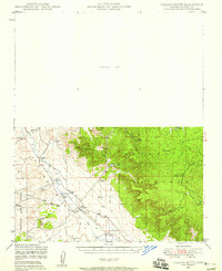
1947 · Picacho Butte
USGS Topo · 1:62,500