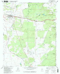
1979 Map of Ash Fork
USGS Topo · Published 1985About this map
The town of Ash Fork serves as a critical junction in Northern Arizona, where the Atchison Topeka and Santa Fe railroad corridor meets the infrastructure of the interstate era. This late-1970s survey captures the community's layout, from the High Sch and local Cem to the nearby Ash Fork Landing Strip. The landscape is heavily marked by the region's volcanic geography and ranching economy, featuring numerous water catchments like Steel Crater, Meath Tank, and the curiously named Hells Uncle Tank.
Find a feature on this map
53 named features on this map. Tap any name to fly to it.
Don’t see what you’re looking for? This feature index may not catch every label — zoom into the map to look around manually.
Map Details
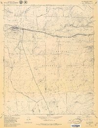
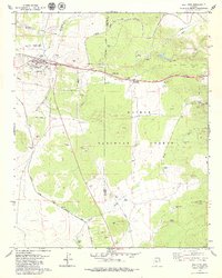
Editions of this 1979 Ash Fork Map
3 editions found
Other maps of this area

1886 · Chino
USGS Topo · 1:250,000

1891 · Chino
USGS Topo · 1:250,000

1922 · Williams
USGS Topo · 1:125,000

1947 · Ash Fork
USGS Topo · 1:62,500

1947 · Picacho Butte
USGS Topo · 1:62,500

1948 · Ash Fork
USGS Topo · 1:63,360

1948 · Williams
USGS Topo · 1:250,000

1948 · Picacho Butte
USGS Topo · 1:63,360

1949 · Ash Fork
USGS Topo · 1:62,500

1950 · Picacho Butte
USGS Topo · 1:62,500