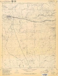
1979 Map of Ash Fork
USGS Topo · Published 1979About this map
Ash Fork serves as the focal point of this late-1970s landscape, situated at a major transportation nexus where the Atchison Topeka and Santa Fe railway meets several modern highway junctions. The town's layout includes a Cem, Sch, and a Substation, reflecting a settled community supporting the rail and road infrastructure. Beyond the town limits, the terrain transitions into the Kaibab National Forest, marked by numerous cinder pits and a complex network of water tanks such as Santa Fe Tank and Steel Crater. These features, alongside an Old Railroad Grade, indicate a history of resource extraction and water management in the high desert environment. The boundary between Coconino Co and Yavapai Co cuts through the region, illustrating the political geography of the Big Black Mesa area. This survey documents the intersection of industrial transport and natural features like Johnson Creek and Perrin Draw.
Find a feature on this map
42 named features on this map. Tap any name to fly to it.
Don’t see what you’re looking for? This feature index may not catch every label — zoom into the map to look around manually.
Map Details
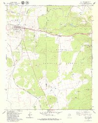
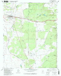
Editions of this 1979 Ash Fork Map
3 editions found
Other maps of this area

1886 · Chino
USGS Topo · 1:250,000

1891 · Chino
USGS Topo · 1:250,000

1922 · Williams
USGS Topo · 1:125,000

1947 · Ash Fork
USGS Topo · 1:62,500

1947 · Picacho Butte
USGS Topo · 1:62,500

1948 · Ash Fork
USGS Topo · 1:63,360

1948 · Williams
USGS Topo · 1:250,000

1948 · Picacho Butte
USGS Topo · 1:63,360

1949 · Ash Fork
USGS Topo · 1:62,500

1950 · Picacho Butte
USGS Topo · 1:62,500