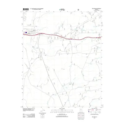
2012 Map of Ash Fork
USGS Topo · Published 2012About this map
Ash Fork serves as the focal point of this high-desert landscape in the early 21st century, positioned where a network of interchanges and service roads meet. The town's historical infrastructure is evident in the presence of the Arizona Highway Maintenance Yard and the Ash Fork Cem located just north of the main settlement. The surrounding terrain is defined by dramatic geological and hydrological features, including the Johnson Canyon and the unusual Steel Crater near the Steel Dam Reservoir.
Find a feature on this map
59 named features on this map. Tap any name to fly to it.
Don’t see what you’re looking for? This feature index may not catch every label — zoom into the map to look around manually.
Map Details
Editions of this 2012 Ash Fork Map
This is the sole edition of this map. No revisions or reprints were ever made.
Other maps of this area

1886 · Chino
USGS Topo · 1:250,000

1891 · Chino
USGS Topo · 1:250,000

1922 · Williams
USGS Topo · 1:125,000

1947 · Ash Fork
USGS Topo · 1:62,500

1947 · Picacho Butte
USGS Topo · 1:62,500

1948 · Ash Fork
USGS Topo · 1:63,360

1948 · Williams
USGS Topo · 1:250,000

1948 · Picacho Butte
USGS Topo · 1:63,360

1949 · Ash Fork
USGS Topo · 1:62,500

1950 · Picacho Butte
USGS Topo · 1:62,500