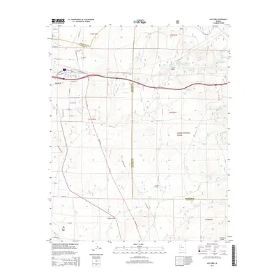
2014 Map of Ash Fork
USGS Topo · Published 2014About this map
Ash Fork sits at a historic crossroads in northern Arizona, positioned along the boundary of the Kaibab National Forest. This 2014 survey captures the settlement near the junction of State Hwy 89 and the modern corridor of Interstate 40, which follows the path of W Old Highway 66. The landscape is defined by the high-elevation terrain of Big Black Mesa and the deep cuts of Johnson Canyon and Devil Dog Canyon.
Find a feature on this map
58 named features on this map. Tap any name to fly to it.
Don’t see what you’re looking for? This feature index may not catch every label — zoom into the map to look around manually.
Map Details
Editions of this 2014 Ash Fork Map
This is the sole edition of this map. No revisions or reprints were ever made.
Other maps of this area

1886 · Chino
USGS Topo · 1:250,000

1891 · Chino
USGS Topo · 1:250,000

1922 · Williams
USGS Topo · 1:125,000

1947 · Ash Fork
USGS Topo · 1:62,500

1947 · Picacho Butte
USGS Topo · 1:62,500

1948 · Ash Fork
USGS Topo · 1:63,360

1948 · Williams
USGS Topo · 1:250,000

1948 · Picacho Butte
USGS Topo · 1:63,360

1949 · Ash Fork
USGS Topo · 1:62,500

1950 · Picacho Butte
USGS Topo · 1:62,500