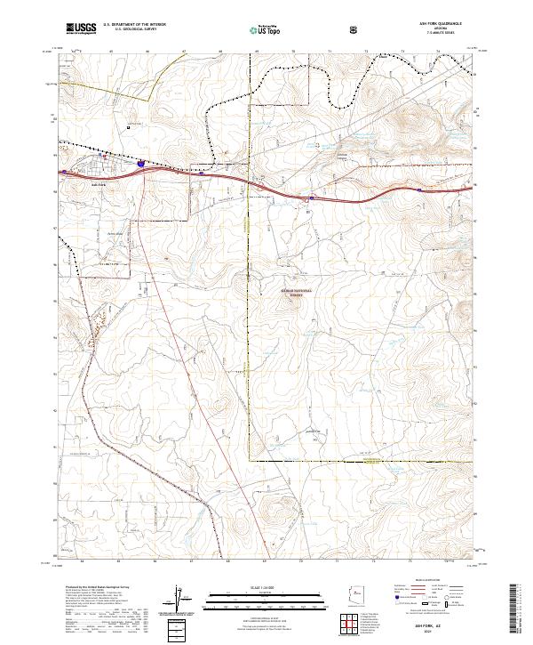
2021 Map of Ash Fork
USGS Topo · Published 2021About this map
Ash Fork sits as a central hub on this 2021 survey, defined by its historic connection to the railroad and the high desert landscape of the Kaibab National Forest. The map documents a complex water management system essential for this arid region, featuring a high density of named tanks and reservoirs such as the Santa Fe Tank, Steel Dam Reservoir, and Masonry Number Two Reservoir. These features, along with Meath Wash and Johnson Cr, illustrate the infrastructure required to support both the town and the surrounding ranching operations.
Find a feature on this map
71 named features on this map. Tap any name to fly to it.
Don’t see what you’re looking for? This feature index may not catch every label — zoom into the map to look around manually.
Map Details
Editions of this 2021 Ash Fork Map
This is the sole edition of this map. No revisions or reprints were ever made.
Other maps of this area

1886 · Chino
USGS Topo · 1:250,000

1891 · Chino
USGS Topo · 1:250,000

1922 · Williams
USGS Topo · 1:125,000

1947 · Ash Fork
USGS Topo · 1:62,500

1947 · Picacho Butte
USGS Topo · 1:62,500

1948 · Ash Fork
USGS Topo · 1:63,360

1948 · Williams
USGS Topo · 1:250,000

1948 · Picacho Butte
USGS Topo · 1:63,360

1949 · Ash Fork
USGS Topo · 1:62,500

1950 · Picacho Butte
USGS Topo · 1:62,500