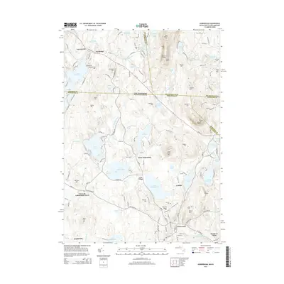
2015 Map of Ashburnham
USGS Topo · Published 2015About this map
Lake Monomonac and the Upper Naukeag- Lower Naukeag system anchor the drainage of this north-central Massachusetts landscape, where water power and elevation shaped the local economy. The area around Ashburnham and North Ashburnham is marked by early industrial and residential clusters like Lane Village, Wellville, and Blackburn Village. These pockets of settlement grew alongside the Millers River and its various tributaries, supported by the proximity of the Old North Ashburnham Station.
Find a feature on this map
173 named features on this map. Tap any name to fly to it.
Don’t see what you’re looking for? This feature index may not catch every label — zoom into the map to look around manually.
Map Details
Editions of this 2015 Ashburnham Map
This is the sole edition of this map. No revisions or reprints were ever made.
Other maps of this area

1887 · Winchendon
USGS Topo · 1:62,500

1887 · Fitchburg
USGS Topo · 1:62,500

1889 · Fitchburg
USGS Topo · 1:62,500

1890 · Winchendon
USGS Topo · 1:62,500

1893 · Fitchburg
USGS Topo · 1:62,500

1894 · Winchendon
USGS Topo · 1:62,500

1898 · Monadnock
USGS Topo · 1:62,500

1900 · Peterboro
USGS Topo · 1:62,500

1931 · Fitchburg
USGS Topo · 1:48,000

1932 · Winchendon
USGS Topo · 1:48,000