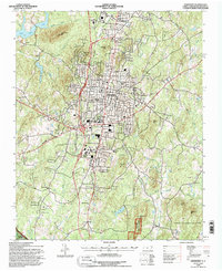
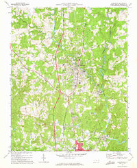
1994 Map of Asheboro
USGS Topo · Published 1996About this map
The ridge-and-valley landscape of the Piedmont is clearly defined here by a series of prominent peaks, including Back Creek Mtn, Daves Mtn, and Purgatory Mtn. This mid-1990s survey illustrates the significant expansion of Asheboro and its northern counterpart North Asheboro, which serves as a central hub for Randolph County. The transportation network is dominated by the Carolina and Northwestern rail line and the modern path of US Highway 220, which connects the urban center to outlying communities like Ulah and Winslow.
Find a feature on this map
53 named features on this map. Tap any name to fly to it.
Don’t see what you’re looking for? This feature index may not catch every label — zoom into the map to look around manually.
Map Details
Editions of this 1994 Asheboro Map
This is the sole edition of this map. No revisions or reprints were ever made.
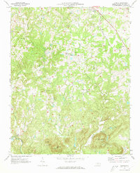
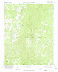
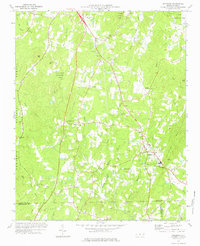
Other maps of this area

1953 · Raleigh
USGS Topo · 1:250,000

1954 · Raleigh
USGS Topo · 1:250,000
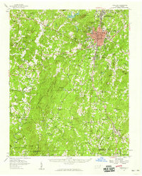
1957 · Asheboro
USGS Topo · 1:62,500
1968 · Ramseur
USGS Topo · 1:24,000
1968 · Erect
USGS Topo · 1:24,000
1970 · Randleman
USGS Topo · 1:24,000
1970 · Glenola
USGS Topo · 1:24,000

1970 · Asheboro
USGS Topo · 1:24,000
1973 · Eleazer
USGS Topo · 1:24,000
1973 · Seagrove
USGS Topo · 1:24,000