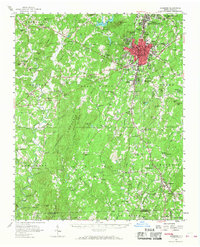
1957 Map of Asheboro
USGS Topo · Published 1968About this map
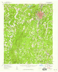
Asheboro serves as the bustling center of this mid-century landscape, characterized by its dense street grid and the presence of institutions like Carver College and the local hospital. The surrounding countryside reveals a deep network of rural communities and congregational life, with dozens of family and community landmarks such as Mt Shepherd Ch, Tabernacle Sch, and Sawyersville dotting the terrain. The northern reaches are defined by the winding Uwharrie River and peaks like Mt Shepherd and Caraway Mtn, while the southern area includes the town of Seagrove and the uniquely named Whynot. The arrival of modern infrastructure is evident in the Under Construction roadway labels and the Southern and Norfolk Southern rail lines that connected these Piedmont textile and agricultural hubs. From the State Prison Camp 806 to the Asheboro Country Club, the map captures a period of significant local development.
Find a feature on this map
125 named features on this map. Tap any name to fly to it.
Don’t see what you’re looking for? This feature index may not catch every label — zoom into the map to look around manually.
Map Details
Editions of this 1957 Asheboro Map
2 editions found
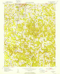
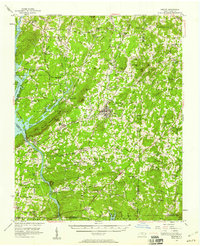
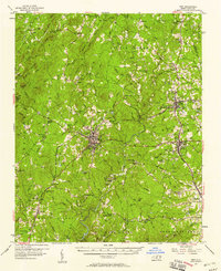
Other maps of this area

1942 · Troy
USGS Topo · 1:125,000
1951 · Fair Grove
USGS Topo · 1:24,000

1953 · Raleigh
USGS Topo · 1:250,000

1953 · Charlotte
USGS Topo · 1:250,000

1954 · Charlotte
USGS Topo · 1:250,000

1954 · Raleigh
USGS Topo · 1:250,000

1957 · Albemarle
USGS Topo · 1:62,500
1957 · Denton
USGS Topo · 1:62,500
1957 · Troy
USGS Topo · 1:62,500
1957 · Asheboro
USGS Topo · 1:62,500