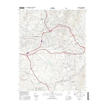
2016 Map of Asheville
USGS Topo · Published 2016About this map
The French Broad River and the Swannanoa River converge at the heart of this Buncombe County landscape, shaping the development of Asheville and its surrounding neighborhoods. Established residential areas like Richmond Hill and Kenilworth appear alongside the expansive grounds of the Univ of N Carolina at Asheville and the industrial corridors served by the Southern Ry. To the south, the planned community of Biltmore Forest and the Biltmore estate area are visible, while the Blue Ridge Parkway winds through the southern ridges near Stradley Mtn.
Find a feature on this map
78 named features on this map. Tap any name to fly to it.
Don’t see what you’re looking for? This feature index may not catch every label — zoom into the map to look around manually.
Map Details
Editions of this 2016 Asheville Map
This is the sole edition of this map. No revisions or reprints were ever made.
Other maps of this area

1894 · Asheville
USGS Topo · 1:125,000

1900 · Mount Mitchell
USGS Topo · 1:125,000

1901 · Asheville
USGS Topo · 1:125,000

1902 · Mount Mitchell
USGS Topo · 1:125,000

1905 · Pisgah
USGS Topo · 1:125,000

1906 · Pisgah
USGS Topo · 1:125,000

1907 · Saluda
USGS Topo · 1:125,000

1935 · Craggy Pinnacle
USGS Topo · 1:24,000

1936 · Enka
USGS Topo · 1:24,000

1936 · Weaverville
USGS Topo · 1:24,000