Loading...
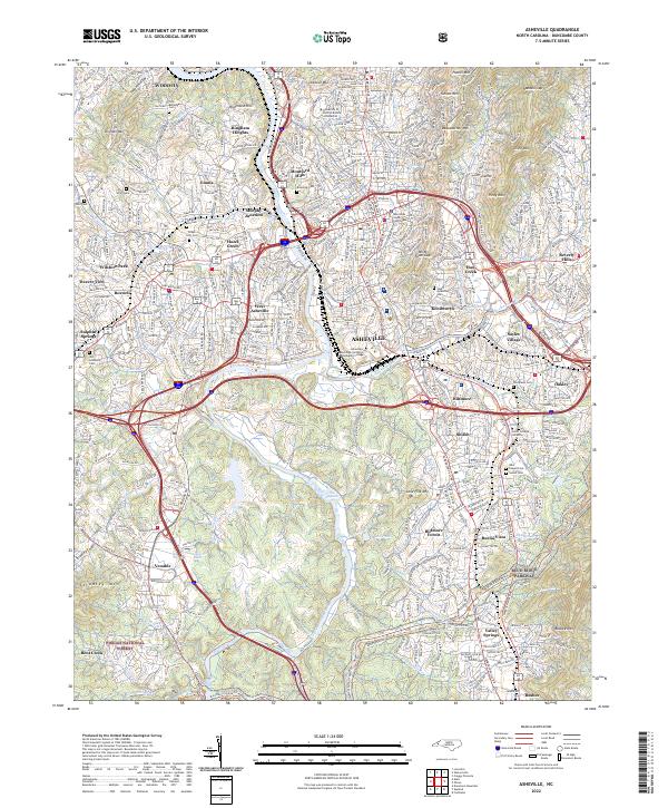
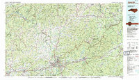
Loading map...2022 Map of Asheville
USGS Topo · Published 2022About this map
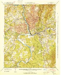
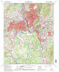
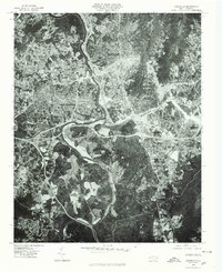
The French Broad River and Swannanoa River converge in this detailed mapping of the regional hub, where urban development meets the steep topography of the Blue Ridge. The central district is anchored by the Buncombe County Courthouse, surrounded by established neighborhoods like Kenilworth and Montford Hills. The influence of the Vanderbilt legacy is evident in the proximity of Biltmore Forest and the Biltmore community to the south.
Find a feature on this map
74 named features on this map. Tap any name to fly to it.
Don’t see what you’re looking for? This feature index may not catch every label — zoom into the map to look around manually.
Map Details
Date Portrayed2022
Date Published2022
PublisherU.S. Geological Survey
Map TypeTopographic
Scale1:24000
Physical Dimensions24 x 29 inches
Editions of this 2022 Asheville Map
This is the sole edition of this map. No revisions or reprints were ever made.
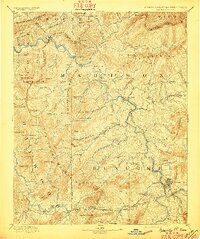
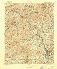
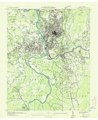
Historical Maps of Dogwood Grove Through Time
8 maps found
Featured Locations
Source Details
SourceU.S. Geological Survey
CopyrightPublic Domain