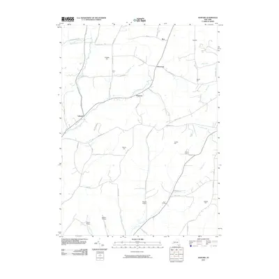
2010 Map of Ashford
USGS Topo · Published 2010About this map
Ashford and Bakerstand anchor this portion of Cattaraugus County, where the landscape is defined by the winding course of Great Valley Creek and its many tributaries. The area's geography is notably divided between high ridges and deep valleys, with named terrain features like Canada Hill and Crosby Hill overlooking lowland settlements. Genealogists and local historians can trace family land ties through numerous road names that mirror the topography and local history, such as Fancy Tract and the distinctively named Morgan Hollow.
Find a feature on this map
59 named features on this map. Tap any name to fly to it.
Don’t see what you’re looking for? This feature index may not catch every label — zoom into the map to look around manually.
Map Details
Editions of this 2010 Ashford Map
This is the sole edition of this map. No revisions or reprints were ever made.
Other maps of this area

1898 · Olean
USGS Topo · 1:62,500

1900 · Salamanca
USGS Topo · 1:62,500

1924 · Ellicottville
USGS Topo · 1:62,500

1924 · Franklinville
USGS Topo · 1:62,500

1938 · Salamanca
USGS Topo · 1:62,500

1938 · Olean
USGS Topo · 1:62,500

1941 · Ellicottville
USGS Topo · 1:62,500

1942 · Franklinville
USGS Topo · 1:62,500

1943 · Olean
USGS Topo · 1:62,500

1943 · Salamanca
USGS Topo · 1:62,500