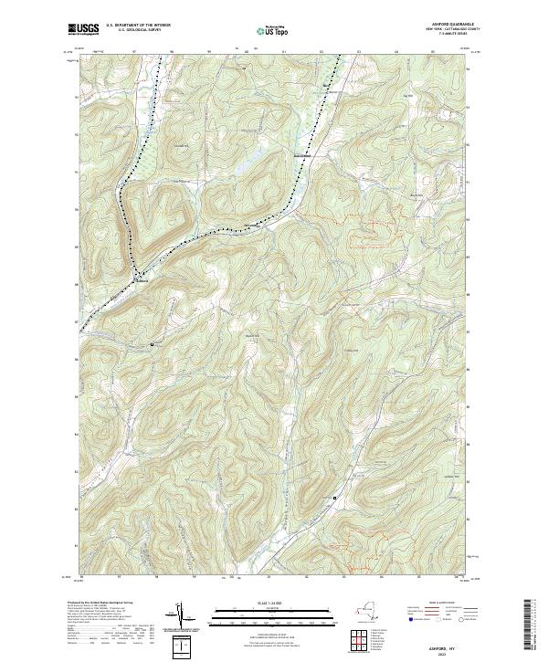
2023 Map of Ashford
USGS Topo · Published 2023About this map
Ashford and Bakerstand anchor this portion of the northern Allegheny Plateau, where the landscape is defined by high ridges and deep hollows. The settlement pattern follows the drainages, with Great Valley Creek and the Devereaux Branch carving through terrain that rises toward Tug Hill and Crosby Hill. Local genealogy is preserved at the Bryant Hill Cem and Root Cem, while the agrarian character of the area is reflected in named landforms like Sommerville Valley and Morgan Hollow. Modern recreational use is visible through the Finger Lakes Trl - North Country Trl and the Creekside Roundup Horse Trl, which navigate the elevation changes between Bird Swamp and the various creek basins. The map illustrates a contemporary rural New York landscape where traditional names and modern trails overlap in a deeply carved topography.
Find a feature on this map
78 named features on this map. Tap any name to fly to it.
Don’t see what you’re looking for? This feature index may not catch every label — zoom into the map to look around manually.
Map Details
Editions of this 2023 Ashford Map
This is the sole edition of this map. No revisions or reprints were ever made.
Other maps of this area

1898 · Olean
USGS Topo · 1:62,500

1900 · Salamanca
USGS Topo · 1:62,500

1924 · Ellicottville
USGS Topo · 1:62,500

1924 · Franklinville
USGS Topo · 1:62,500

1938 · Salamanca
USGS Topo · 1:62,500

1938 · Olean
USGS Topo · 1:62,500

1941 · Ellicottville
USGS Topo · 1:62,500

1942 · Franklinville
USGS Topo · 1:62,500

1943 · Olean
USGS Topo · 1:62,500

1943 · Salamanca
USGS Topo · 1:62,500