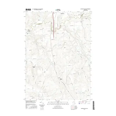
2016 Map of Ashford Hollow
USGS Topo · Published 2016About this map
Cattaraugus Creek carves a deep, winding path along the border of Erie and Cattaraugus counties, defining the northern landscape of this region. The valley floor is home to a series of historic crossings including Bigelow Bridge, Scooby Bridge, and Felton Bridge, which connect the upland plateaus. To the south, the settlement of Ashford Hollow sits at a geographic crossroads where Ashford Hollow Rd meets the winding Buttermilk Creek.
Find a feature on this map
92 named features on this map. Tap any name to fly to it.
Don’t see what you’re looking for? This feature index may not catch every label — zoom into the map to look around manually.
Map Details
Editions of this 2016 Ashford Hollow Map
This is the sole edition of this map. No revisions or reprints were ever made.
Other maps of this area

1905 · Eden
USGS Topo · 1:62,500

1907 · Eden
USGS Topo · 1:62,500

1923 · Cattaraugus
USGS Topo · 1:62,500

1924 · Ellicottville
USGS Topo · 1:62,500

1925 · Springville
USGS Topo · 1:62,500

1938 · Cattaraugus
USGS Topo · 1:62,500

1941 · Cattaraugus
USGS Topo · 1:62,500

1941 · Ellicottville
USGS Topo · 1:62,500

1944 · Eden
USGS Topo · 1:62,500

1944 · Langford
USGS Topo · 1:31,680