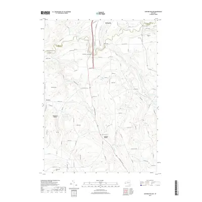
2019 Map of Ashford Hollow
USGS Topo · Published 2019About this map
Cattaraugus Creek carves a deep valley along the border of Erie and Cattaraugus Counties, serving as the defining geographical feature of this rural landscape. The settlement of Springville sits at the northern edge, where the creek is spanned by several crossings including the Scoby Bridge and Felton Bridge. The area is characterized by high, dissected terrain such as Hammond Hill and Dutch Hill, with numerous named hollows and smaller settlements like Ashford Hollow and Whiteford Hollow tucked between the ridges.
Find a feature on this map
97 named features on this map. Tap any name to fly to it.
Don’t see what you’re looking for? This feature index may not catch every label — zoom into the map to look around manually.
Map Details
Editions of this 2019 Ashford Hollow Map
This is the sole edition of this map. No revisions or reprints were ever made.
Other maps of this area

1905 · Eden
USGS Topo · 1:62,500

1907 · Eden
USGS Topo · 1:62,500

1923 · Cattaraugus
USGS Topo · 1:62,500

1924 · Ellicottville
USGS Topo · 1:62,500

1925 · Springville
USGS Topo · 1:62,500

1938 · Cattaraugus
USGS Topo · 1:62,500

1941 · Cattaraugus
USGS Topo · 1:62,500

1941 · Ellicottville
USGS Topo · 1:62,500

1944 · Eden
USGS Topo · 1:62,500

1944 · Langford
USGS Topo · 1:31,680