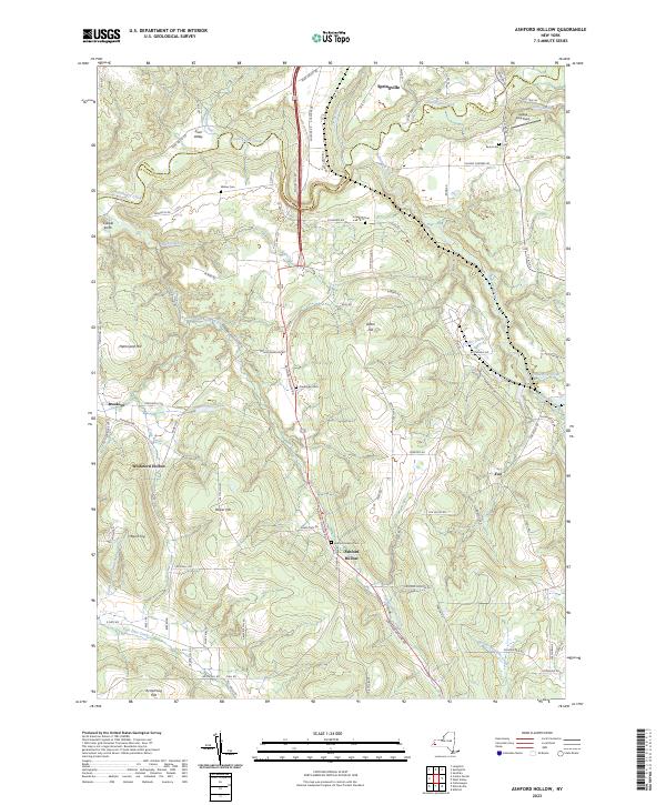
2023 Map of Ashford Hollow
USGS Topo · Published 2023About this map
Cattaraugus Creek carves a deep path through the northern reach of this landscape, defining the transition between Erie and Cattaraugus Counties within the dramatic Zoar Valley. The settlement at Ashford Hollow serves as a primary local node, surrounded by a network of upland farms and family-named cemeteries. These burial grounds, including Weber Cem, Schwartz Cem, and Franktown Cem, are preserved alongside historic road corridors like Scooby Hill Rd and the primary artery of US Hwy 219. The terrain is characterized by prominent high points such as Hammond Hill and Dutch Hill, which oversee a complex drainage system of smaller tributaries like Buttermilk Creek and Nigh Creek. Small residential pockets at Brooklyn and Whiteford Hollow illustrate the rural habitations that have persisted in this corner of Western New York into the 2020s.
Find a feature on this map
88 named features on this map. Tap any name to fly to it.
Don’t see what you’re looking for? This feature index may not catch every label — zoom into the map to look around manually.
Map Details
Editions of this 2023 Ashford Hollow Map
This is the sole edition of this map. No revisions or reprints were ever made.
Other maps of this area

1905 · Eden
USGS Topo · 1:62,500

1907 · Eden
USGS Topo · 1:62,500

1923 · Cattaraugus
USGS Topo · 1:62,500

1924 · Ellicottville
USGS Topo · 1:62,500

1925 · Springville
USGS Topo · 1:62,500

1938 · Cattaraugus
USGS Topo · 1:62,500

1941 · Cattaraugus
USGS Topo · 1:62,500

1941 · Ellicottville
USGS Topo · 1:62,500

1944 · Eden
USGS Topo · 1:62,500

1944 · Langford
USGS Topo · 1:31,680