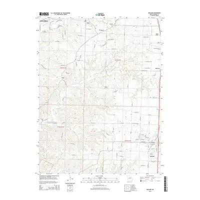
2015 Map of Ashland
USGS Topo · Published 2015About this map
The southern fringes of Columbia meet the rural expanses of Boone County in this 2015 study of the Missouri heartland. Stretching from the established center of Ashland in the south to the natural landmark of Devils Icebox in the north, the landscape is defined by the winding course of Bonne Femme Creek and its many tributaries, including Turkey Cr and Bass Cr. This area maintains a strong connection to its pioneer roots, evidenced by the distribution of family and community burial grounds such as Samuel Cemetery, Rock Bridge Cemetery, and Harris Cemetery. These sites are interspersed between small unincorporated settlements like Sapp, Pierpont, and Deer Park, which have historically served as local hubs. The transition from the more developed road networks of the north to the wooded creek bottoms of the south illustrates the area's continued reliance on the local watersheds and topographies that shaped early Missouri settlement patterns.
Find a feature on this map
107 named features on this map. Tap any name to fly to it.
Don’t see what you’re looking for? This feature index may not catch every label — zoom into the map to look around manually.
Map Details
Editions of this 2015 Ashland Map
This is the sole edition of this map. No revisions or reprints were ever made.
Other maps of this area

1886 · Jefferson City
USGS Topo · 1:125,000

1894 · Jefferson City
USGS Topo · 1:125,000

1935 · Columbia
USGS Topo · 1:24,000

1939 · Jefferson City
USGS Topo · 1:62,500

1940 · Columbia
USGS Topo · 1:24,000

1942 · Jefferson City
USGS Topo · 1:62,500

1944 · Millersburg
USGS Topo · 1:62,500

1946 · Millersburg
USGS Topo · 1:62,500

1947 · Jefferson City
USGS Topo · 1:250,000

1948 · Centertown
USGS Topo · 1:62,500