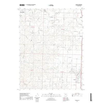
2017 Map of Ashland
USGS Topo · Published 2017About this map
The southern outskirts of Columbia meet the sprawling natural landscapes of Boone County in this 2017 study. The area is defined by the intricate drainage systems of Bonne Femme Creek and its many tributaries, including Fox Hollow Br, Smith Br, and Gans Cr. Notable landmarks such as the Rock Bridge and the Devils Icebox highlight the unique geological character of the region.
Find a feature on this map
121 named features on this map. Tap any name to fly to it.
Don’t see what you’re looking for? This feature index may not catch every label — zoom into the map to look around manually.
Map Details
Editions of this 2017 Ashland Map
This is the sole edition of this map. No revisions or reprints were ever made.
Other maps of this area

1886 · Jefferson City
USGS Topo · 1:125,000

1894 · Jefferson City
USGS Topo · 1:125,000

1935 · Columbia
USGS Topo · 1:24,000

1939 · Jefferson City
USGS Topo · 1:62,500

1940 · Columbia
USGS Topo · 1:24,000

1942 · Jefferson City
USGS Topo · 1:62,500

1944 · Millersburg
USGS Topo · 1:62,500

1946 · Millersburg
USGS Topo · 1:62,500

1947 · Jefferson City
USGS Topo · 1:250,000

1948 · Centertown
USGS Topo · 1:62,500