2024 Map of Ashland
USGS Topo · Published 2024About this map
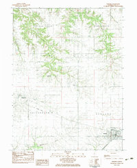
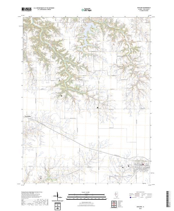
Ashland serves as the primary hub in this portion of Cass County, where a grid of residential streets including W Buchanan St and E Progress St meet the rural corridor of W State Rte 125. The surrounding landscape is defined by a dense network of country roads and several family or community burial grounds that point to the deep-rooted settlement history of the region. Notable sites such as Saint Augustine Cem, Ashland Cem, and Williams Cem are scattered across the terrain, often located near the winding creek beds that break up the agricultural tablelands. The small settlement of Philadelphia sits to the west, connected to the larger township by a system of lane-way roads like Philadelphia Rd and Gridley Rd. This survey provides a clear view of the modern rural infrastructure and historical land divisions still in use today.
Find a feature on this map
53 named features on this map. Tap any name to fly to it.
Don’t see what you’re looking for? This feature index may not catch every label — zoom into the map to look around manually.
Map Details
Editions of this 2024 Ashland Map
This is the sole edition of this map. No revisions or reprints were ever made.