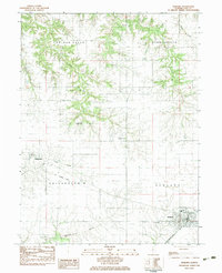
1983 Map of Ashland
USGS Topo · Published 1983About this map
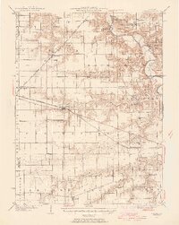
Ashland serves as the primary hub in this Illinois prairie landscape, where the Illinois Central Gulf railroad cuts through the southeastern corner of the township. The surrounding countryside is defined by a dense network of family and community burial grounds, including Garner Chapel Cem, McDonald Cem, and Williams Cem, providing significant points of interest for genealogical research in both Cass and Morgan counties. The terrain transitions from the flat agricultural plains near Philadelphia to the more dissected drainage basins of Panther Creek and Cox Creek. A notable piece of local infrastructure history is visible in the Old Railroad Grade running west of the main settlement, tracing a path no longer in active service. The map also records the location of the local High Sch and the St Augustine Cem on the outskirts of the village.
Find a feature on this map
24 named features on this map. Tap any name to fly to it.
Don’t see what you’re looking for? This feature index may not catch every label — zoom into the map to look around manually.
Map Details
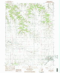
Editions of this 1983 Ashland Map
2 editions found
Other maps of this area

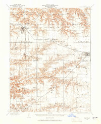
1909 · Tallula
USGS Topo · 1:62,500
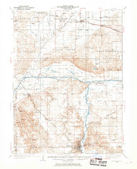
1930 · Chandlerville
USGS Topo · 1:62,500
1932 · Chandlerville
USGS Topo · 1:62,500
1932 · Virginia
USGS Topo · 1:62,500
1933 · Petersburg
USGS Topo · 1:62,500
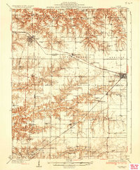
1936 · Virginia
USGS Topo · 1:62,500
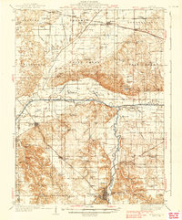
1938 · Petersburg
USGS Topo · 1:62,500
1940 · Tallula
USGS Topo · 1:62,500

1948 · Quincy
USGS Topo · 1:250,000

1956 · Quincy
USGS Topo · 1:250,000