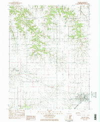
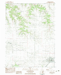
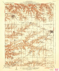
1983 Map of Ashland
USGS Topo · Published 1983About this map
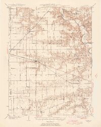
The village of Ashland anchors the southeastern corner of this Central Illinois landscape, where the Illinois Central Gulf corridor meets the rolling agricultural land of Cass County. This 1983 provisional survey captures the region's rural character, marked by a network of drainage systems like Panther Creek and Little Indian Creek that carve through the prairie. Settlement patterns are defined by small crossroads and family legacies, evidenced by numerous burial grounds including Garner Chapel Cem and McDonald Cem. While Ashland serves as the primary population center with its High Sch and St Augustine Cem, the map also documents the smaller community of Philadelphia to the west. A notable piece of local history is the Old Railroad Grade running through the township of Philadelphia, tracing a former transport route that once connected these farming outposts before the modern rail era.
Find a feature on this map
19 named features on this map. Tap any name to fly to it.
Don’t see what you’re looking for? This feature index may not catch every label — zoom into the map to look around manually.
Map Details
Editions of this 1983 Ashland Map
2 editions found
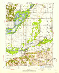
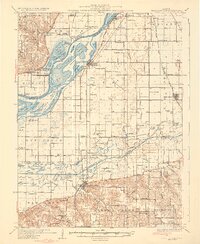
Other maps of this area

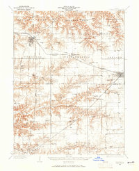
1909 · Tallula
USGS Topo · 1:62,500
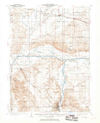
1930 · Chandlerville
USGS Topo · 1:62,500
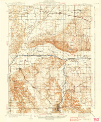
1932 · Chandlerville
USGS Topo · 1:62,500
1932 · Virginia
USGS Topo · 1:62,500
1933 · Petersburg
USGS Topo · 1:62,500
1936 · Virginia
USGS Topo · 1:62,500
1938 · Petersburg
USGS Topo · 1:62,500
1940 · Tallula
USGS Topo · 1:62,500

1948 · Quincy
USGS Topo · 1:250,000

1956 · Quincy
USGS Topo · 1:250,000