
1956 Map of Quincy
USGS Topo · Published 1967About this map
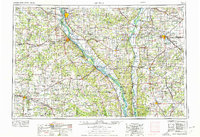
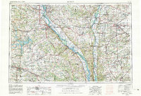
The Mississippi River and Illinois River dominate this mid-century landscape, carving through the fertile borderlands between Illinois and Missouri. Major river hubs like Quincy and Hannibal serve as anchors for a dense network of rail lines, including the Chicago Burlington and Quincy RR and the Wabash RR, which transported the region's agricultural wealth. The map captures the complex river morphology of the era, noting numerous features such as Middleton Island and the Mark Twain National Wildlife Refuge.
Find a feature on this map
135 named features on this map. Tap any name to fly to it.
Don’t see what you’re looking for? This feature index may not catch every label — zoom into the map to look around manually.
Map Details
Editions of this 1956 Quincy Map
3 editions found
Other maps of this area

1886 · Jefferson City
USGS Topo · 1:125,000

1890 · Louisiana
USGS Topo · 1:125,000

1890 · Mexico
USGS Topo · 1:125,000

1890 · Moberly
USGS Topo · 1:125,000

1890 · Hermann
USGS Topo · 1:125,000

1890 · Fulton
USGS Topo · 1:125,000

1894 · Jefferson City
USGS Topo · 1:125,000

1903 · O'Fallon
USGS Topo · 1:125,000

1903 · Kahoka
USGS Topo · 1:125,000

1903 · Palmyra
USGS Topo · 1:125,000