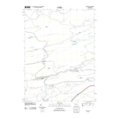
2010 Map of Ashland
USGS Topo · Published 2010About this map
Centralia and the surrounding coal region of Schuylkill and Columbia counties are captured here in the early 21st century. The landscape is defined by the significant geological formations of the Ashland Anticline and Ashland Mountain, which dictate the east-west orientation of the settlements and infrastructure. In addition to the borough of Ashland, the map details the grid of Girardville situated along Mahanoy Creek.
Find a feature on this map
51 named features on this map. Tap any name to fly to it.
Don’t see what you’re looking for? This feature index may not catch every label — zoom into the map to look around manually.
Map Details
Editions of this 2010 Ashland Map
This is the sole edition of this map. No revisions or reprints were ever made.
Other maps of this area

1889 · Catawissa
USGS Topo · 1:62,500

1889 · Pottsville
USGS Topo · 1:62,500

1891 · Pottsville
USGS Topo · 1:62,500

1892 · Catawissa
USGS Topo · 1:62,500

1892 · Mahanoy
USGS Topo · 1:62,500

1892 · Pine Grove
USGS Topo · 1:62,500

1893 · Mahanoy
USGS Topo · 1:62,500

1894 · Catawissa
USGS Topo · 1:62,500

1944 · Pottsville
USGS Topo · 1:24,000

1947 · Ashland
USGS Topo · 1:24,000