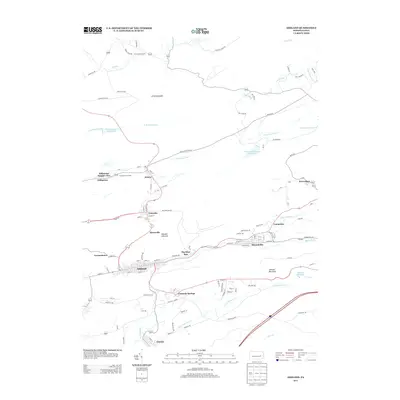
2013 Map of Ashland
USGS Topo · Published 2013About this map
Centralia and the surrounding anthracite coal country are documented here in detail, showing a landscape defined by industrial history and geological formations. The Ashland Anticline arcs through the center of the sheet, an area where settlements like Byrnsville and Big Mine Run were established near the rich coal seams that fueled the region's economy. The Centralia Fire Tower stands as a notable landmark overlooking the borough, while the complex local topography is marked by the presence of Little Mountain to the north and Ashland Mountain to the south.
Find a feature on this map
116 named features on this map. Tap any name to fly to it.
Don’t see what you’re looking for? This feature index may not catch every label — zoom into the map to look around manually.
Map Details
Editions of this 2013 Ashland Map
This is the sole edition of this map. No revisions or reprints were ever made.
Other maps of this area

1889 · Catawissa
USGS Topo · 1:62,500

1889 · Pottsville
USGS Topo · 1:62,500

1891 · Pottsville
USGS Topo · 1:62,500

1892 · Catawissa
USGS Topo · 1:62,500

1892 · Mahanoy
USGS Topo · 1:62,500

1892 · Pine Grove
USGS Topo · 1:62,500

1893 · Mahanoy
USGS Topo · 1:62,500

1894 · Catawissa
USGS Topo · 1:62,500

1944 · Pottsville
USGS Topo · 1:24,000

1947 · Ashland
USGS Topo · 1:24,000