Loading...
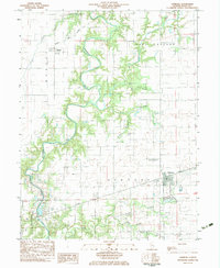
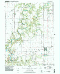
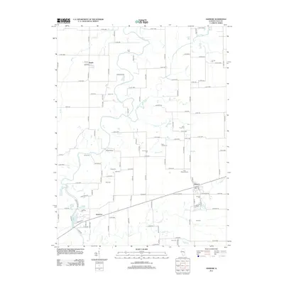
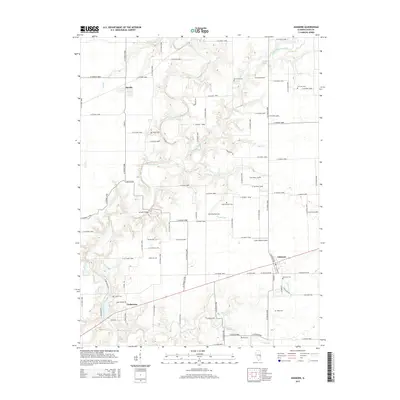
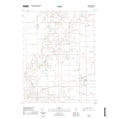
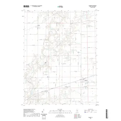
Loading map...1982 Map of Ashmore
USGS Topo · Published 1983About this map
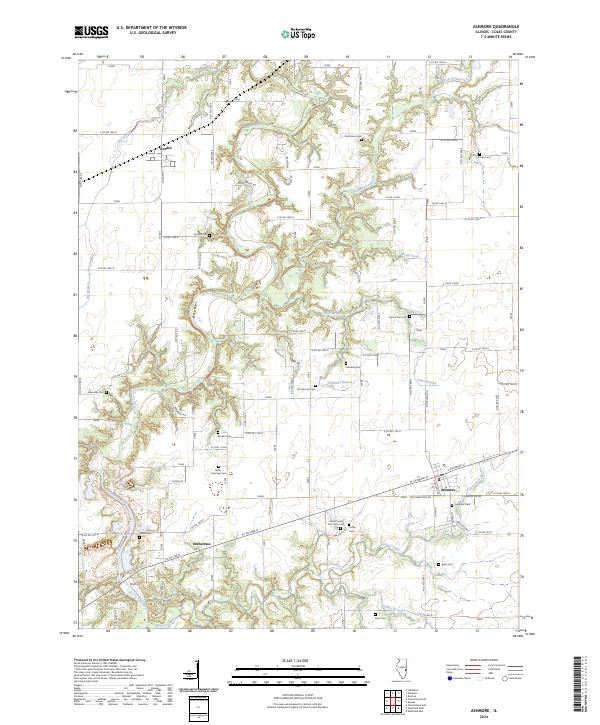
The winding course of the Embarras River carves a deep, wooded corridor through the central Illinois prairie, anchoring this 1980s landscape. This survey documents the rural character of Coles County, where the village of Ashmore serves as a local hub along the Conrail line. To the northwest, the smaller settlement of Rardin sits near the Norfolk And Western tracks, illustrating the region's reliance on rail transport for agricultural commerce.
Find a feature on this map
34 named features on this map. Tap any name to fly to it.
Don’t see what you’re looking for? This feature index may not catch every label — zoom into the map to look around manually.
Map Details
Date Portrayed1982
Date Published1983
PublisherU.S. Geological Survey
Map TypeTopographic
Scale1:24,000
Physical Dimensions22 x 26.8 inches
Editions of this 1982 Ashmore Map
This is the sole edition of this map. No revisions or reprints were ever made.
Historical Maps of Ashmore Through Time
7 maps found
Featured Locations
Source Details
SourceU.S. Geological Survey
CopyrightPublic Domain