2024 Map of Ashton
USGS Topo · Published 2024About this map
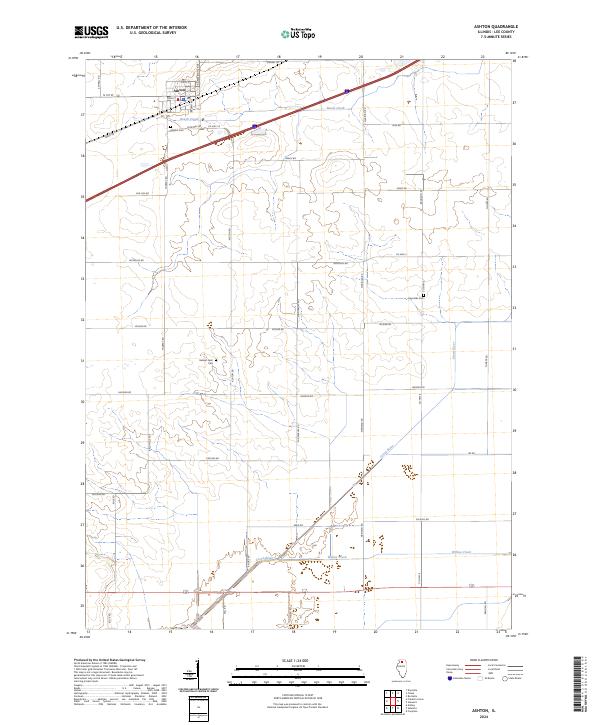
Ashton anchors the northwestern corner of this Lee County landscape, where the local street grid centers on Main St and Brown Ave. This area of northern Illinois is characterized by a high concentration of family-named landmarks and rural infrastructure, including Sehant Farm Cem and Reynolds Cem, which offer significant value for genealogists tracing ancestral landholdings. The drainage patterns of the Green River, Beach Creek, and Willow Creek cut through a territory defined by a rigorous section-line road network. Notable thoroughfares like Car Line Rd and Track Rd suggest the historical path of transportation corridors that once linked these agricultural townships. From the municipal center of Ashton to the southern reaches near Lee Rd, the map illustrates a mature rural landscape where modern transit routes intersect with long-established property divisions.
Find a feature on this map
42 named features on this map. Tap any name to fly to it.
Don’t see what you’re looking for? This feature index may not catch every label — zoom into the map to look around manually.
Map Details
Editions of this 2024 Ashton Map
This is the sole edition of this map. No revisions or reprints were ever made.
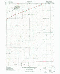
Historical Maps of Viola Township Through Time
Featured Locations
- Viola Township, IL
- Bradford Township, IL
- Lee Center Township, IL
- Reynolds Township, IL
- Ashton, Ashton Township