Old Maps of Viola Township, Illinois
Explore 31 old maps of Viola Township, spanning from 1952 to today. These high-resolution historic maps reveal how streets, neighborhoods, landmarks, and natural features evolved over time — perfect for genealogy, metal detecting, research, and local history exploration.
What you can do with these maps:
- See how Viola Township changed over time: Compare historical maps to modern-day views to trace roads, homesites, rail lines & more.
- View detailed metadata: Each map includes creators, publishers, year, scale, and archive source.
- Overlay maps with satellite & LiDAR: Visualize the past alongside modern tools to explore terrain & human change.
- Trusted historical sources: Maps sourced from the USGS, Library of Congress, and other archives.
- Access maps your way: View online, download high-res files, or order prints for personal or research use.
Start exploring old maps of Viola Township to uncover forgotten places, hidden landmarks, and the deep history beneath your feet.
Viola Township, IL maps
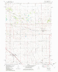
(31)- 1952 Map of Rochelle, 1954 Print
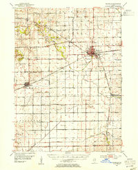 1952 Rochelle1954 Print · USGSOgle and Lee Counties in the early fifties reveal a landscape of thriving rural schools and critical rail junctions centered on Rochelle. Genealogists can trace local roots through numerous landmarks including Reynolds Ch, Twin Grove Cem, and Willow Center Sch.3 unique versions available
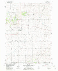
 - 1952 Map of Mendota, 1954 Print
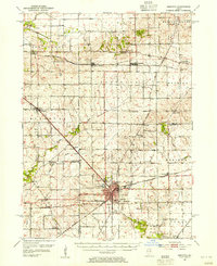 1952 Mendota1954 Print · USGSMendota was a bustling railroad crossroads in the 1950s at the junction of three major lines. Genealogists can trace family roots through numerous country burial grounds and schoolhouses like Holy Cross Cem, Restland Cem, and Schlesinger Sch.3 unique versions available
 - 1958 Map of Aurora, 1969 Print
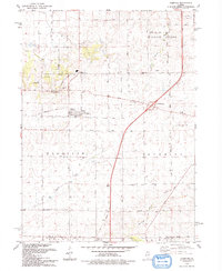
 1958 Aurora1969 Print · USGSNorthern Illinois in the late fifties shows a landscape of powerful river industry and expanding transport corridors. Genealogists and historians can trace the development of Aurora and Joliet or locate sites like the Elwood Ordnance Plant and Starved Rock.3 unique versions available
 - 1961 Map of Aurora
 1961 Aurora1961 Print · USGSNorthern Illinois at the height of the post-war era reveals a landscape of massive industrial works and thriving river towns. Genealogists and historians can trace the paths of the Lincoln Highway or locate long-standing landmarks like the Green River Ordnance Plant and Starved Rock State Park.
 - 1975 Map of Steward, 1978 Print
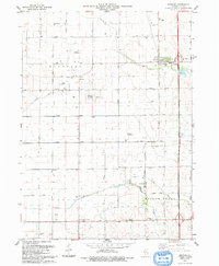
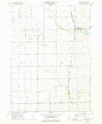 1975 Steward1978 Print · USGSSteward and the surrounding Illinois prairie are shown in the mid-1970s at the height of its rail-and-air utility. Researchers can trace family-named roads and rural infrastructure like Twelvemile Corner, Scarboro, and the Bresson Airport.
 - 1975 Map of Ashton, 1978 Print
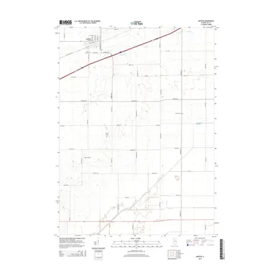
 1975 Ashton1978 Print · USGSIn the mid-1970s, the village of Ashton and its surrounding townships anchored a productive Lee County landscape. Researchers can trace family roots and old land boundaries near the Reynolds Church, Reynolds Cemetery, and the Sword Landing Strip.
 - 1982 Map of Sublette
 1982 Sublette1982 Print · USGSNorthern Illinois prairie land is captured here in the early eighties, showcasing the intersection of rail and rural life. Genealogists can locate family-named routes and landmarks like Montavon Road or St Marys Cem near Sublette.
 - 1982 Map of Compton
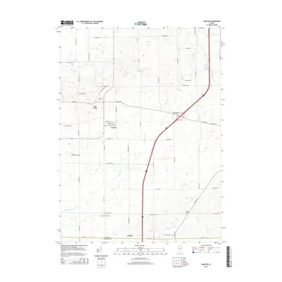
 1982 Compton1982 Print · USGSNorthern Illinois prairie life in the early eighties is mapped here at the junction of the Burlington Northern and Chicago and North Western. Researchers can trace rural lineages through family landmarks like Fisk Cem and the small settlement of The Burg.
 - 1985 Map of Dixon
 1985 Dixon1985 Print · USGSNorth-central Illinois in the mid-eighties was a land of river cities and expansive prairies defined by rail lines and private airfields. Researchers can locate family landmarks like Oakwood Cem, the Sword Landing Strip, and Sauk Valley College while tracing the C & N W railroad.2 unique versions available
 - 1993 Map of Compton
 1993 Compton1993 Print · USGSThe Illinois prairie around Compton is shown here in the early nineties as a landscape defined by its agricultural roots and old rail lines. Researchers can trace the Old Railroad Grade through Compton and locate historic sites like Fisk Cem and the settlement of The Burg.
 - 1993 Map of Steward
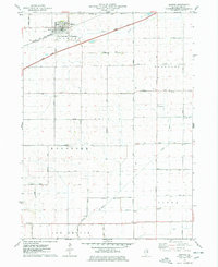
 1993 Steward1993 Print · USGSSteward and the surrounding Lee County townships are captured in the early 1990s as a landscape of productive fields and private airfields. Researchers can locate family landmarks like Twin Grove Cem, Twelvemile Corner, and the Ranken Landing Strip.
 - 2012 Map of Steward, 2012 Print
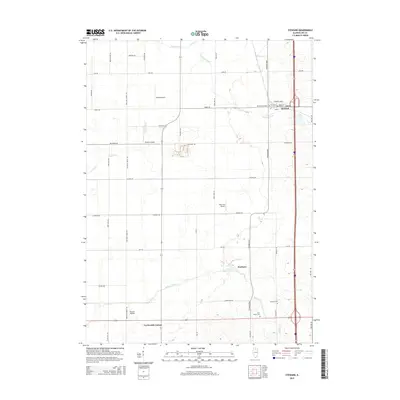
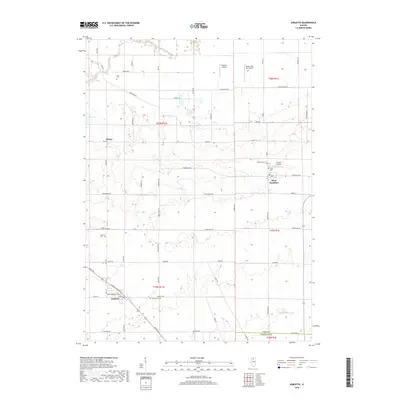
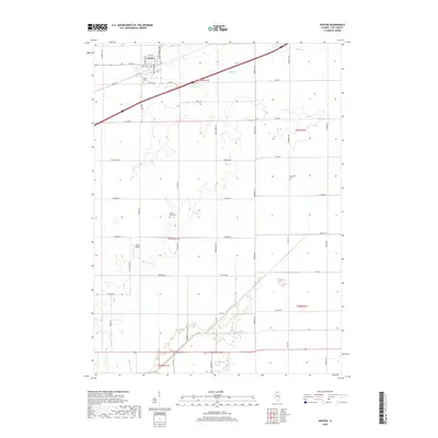
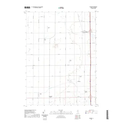
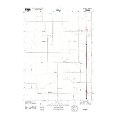 2012 Steward2012 Print · USGSCovers Viola Township, including Steward, Reynolds Township, and other nearby areas
 - 2012 Map of Ashton, 2012 Print
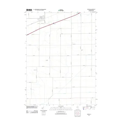 2012 Ashton2012 Print · USGSCovers Viola Township, including Ashton, Reynolds Township, and other nearby areas
 - 2012 Map of Sublette, 2012 Print
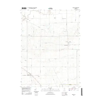
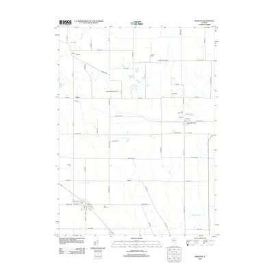 2012 Sublette2012 Print · USGSCovers Viola Township, including Sublette, West Brooklyn, and other nearby areas
 - 2012 Map of Compton, 2012 Print
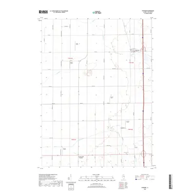
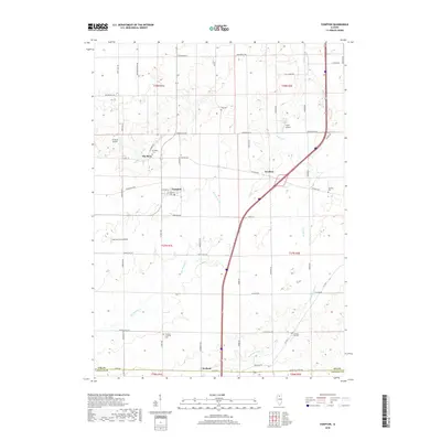
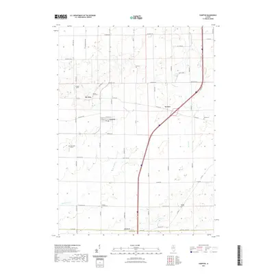
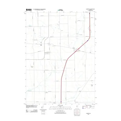 2012 Compton2012 Print · USGSCovers Viola Township, including Compton, Mendota Township, and other nearby areas
 - 2015 Map of Steward, 2015 Print
 2015 Steward2015 Print · USGSCovers Viola Township, including Steward, Reynolds Township, and other nearby areas
 - 2015 Map of Sublette, 2015 Print
 2015 Sublette2015 Print · USGSCovers Viola Township, including Sublette, West Brooklyn, and other nearby areas
 - 2015 Map of Compton, 2015 Print
 2015 Compton2015 Print · USGSCovers Viola Township, including Compton, Mendota Township, and other nearby areas
 - 2015 Map of Ashton, 2015 Print
 2015 Ashton2015 Print · USGSCovers Viola Township, including Ashton, Reynolds Township, and other nearby areas
 - 2018 Map of Sublette, 2018 Print
 2018 Sublette2018 Print · USGSCovers Viola Township, including Sublette, West Brooklyn, and other nearby areas
 - 2018 Map of Steward, 2018 Print
 2018 Steward2018 Print · USGSCovers Viola Township, including Steward, Reynolds Township, and other nearby areas
 - 2018 Map of Compton, 2018 Print
 2018 Compton2018 Print · USGSCovers Viola Township, including Compton, Mendota Township, and other nearby areas
 - 2018 Map of Ashton, 2018 Print
 2018 Ashton2018 Print · USGSCovers Viola Township, including Ashton, Reynolds Township, and other nearby areas
 - 2021 Map of Steward, 2021 Print
 2021 Steward2021 Print · USGSCovers Viola Township, including Steward, Reynolds Township, and other nearby areas
 - 2021 Map of Compton, 2021 Print
 2021 Compton2021 Print · USGSCovers Viola Township, including Compton, Mendota Township, and other nearby areas
Showing maps 1-25 of 31
Top cities near Viola Township
- Rochelle historical maps
- Mendota historical maps
- Amboy historical maps
- Earlville historical maps
- Hillcrest historical maps
- Ashton historical maps
See more
Top neighborhoods of Viola Township
Frequently asked questions
- What are the different types of historical maps available for Viola Township?
- What is the oldest map of Viola Township?
- Where can I purchase historical maps of Viola Township for my home or office?
- Where can I download high-res historical maps of Viola Township?
- Are there historical topographic maps available for Viola Township?
- Is there historical aerial imagery available for Viola Township?
- Where are historical maps of Viola Township sourced from?