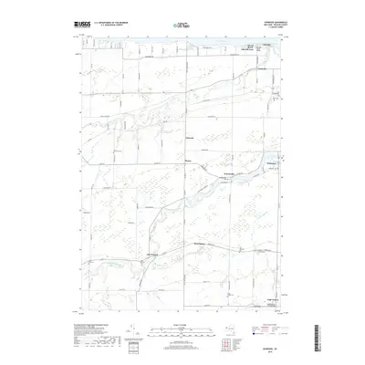
2019 Map of Ashwood
USGS Topo · Published 2019About this map
Lake Ontario forms the northern boundary of this Orleans County landscape, where the shoreline is defined by seasonal retreats like Sunset Beach and Lakeside Park. Moving inland, the terrain is shaped by the complex hydrology of Johnson Creek and Oak Orchard Creek, which wind through agricultural lands toward the historic Erie Canal in the south. This area is dotted with small, long-established hamlets including Ashwood, Kenyonville, and Waterport, each serving as a local focal point for the surrounding farming community.
Find a feature on this map
91 named features on this map. Tap any name to fly to it.
Don’t see what you’re looking for? This feature index may not catch every label — zoom into the map to look around manually.
Map Details
Editions of this 2019 Ashwood Map
This is the sole edition of this map. No revisions or reprints were ever made.
Other maps of this area

1897 · Albion
USGS Topo · 1:62,500

1897 · Medina
USGS Topo · 1:62,500

1897 · Oak Orchard
USGS Topo · 1:62,500

1897 · Ridgeway
USGS Topo · 1:62,500

1944 · Ashwood
USGS Topo · 1:31,680

1944 · Albion
USGS Topo · 1:31,680

1949 · Kendall
USGS Topo · 1:62,500
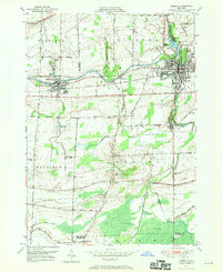
1949 · Medina
USGS Topo · 1:24,000
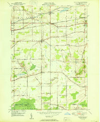
1950 · Knowlesville
USGS Topo · 1:24,000
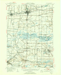
1950 · Medina
USGS Topo · 1:62,500