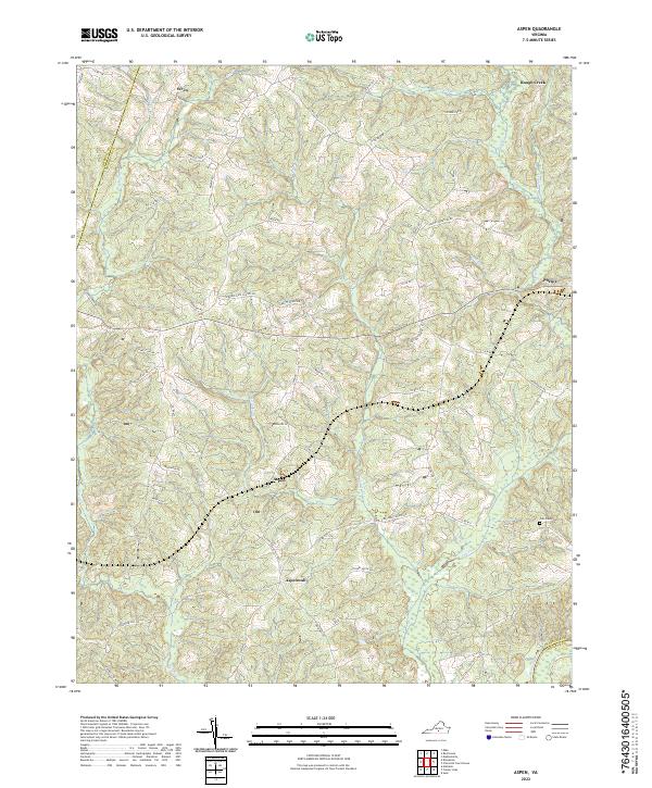
2022 Map of Aspen
USGS Topo · Published 2022About this map
Phenix and Aspen anchor this rural section of Charlotte County, where the landscape is defined by the complex drainage systems of Rough Creek, Cub Cr, and the Roanoke River along the southern border. The settlement pattern follows a network of ridge-top roads and creek crossings, connecting small communities like Wren and Aspenwall. Local history is embedded in the road names, which point toward former institutions like the Jordans Gate School Rd and Bethel School Ln.
Find a feature on this map
67 named features on this map. Tap any name to fly to it.
Don’t see what you’re looking for? This feature index may not catch every label — zoom into the map to look around manually.
Map Details
Editions of this 2022 Aspen Map
This is the sole edition of this map. No revisions or reprints were ever made.
Historical Maps of Phenix Through Time
12 maps found
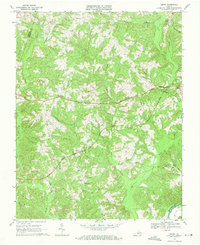
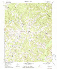
1968 Aspen
Charlotte County, VA
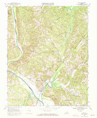
1968 Eureka
Charlotte County, VA
1968 Madisonville
Charlotte County, VA
1968 Red House
Charlotte County, VA
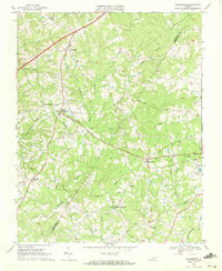
1968 Saxe
Charlotte County, VA
1968 Wylliesburg
Charlotte County, VA
2022 Aspen
Charlotte County, VA
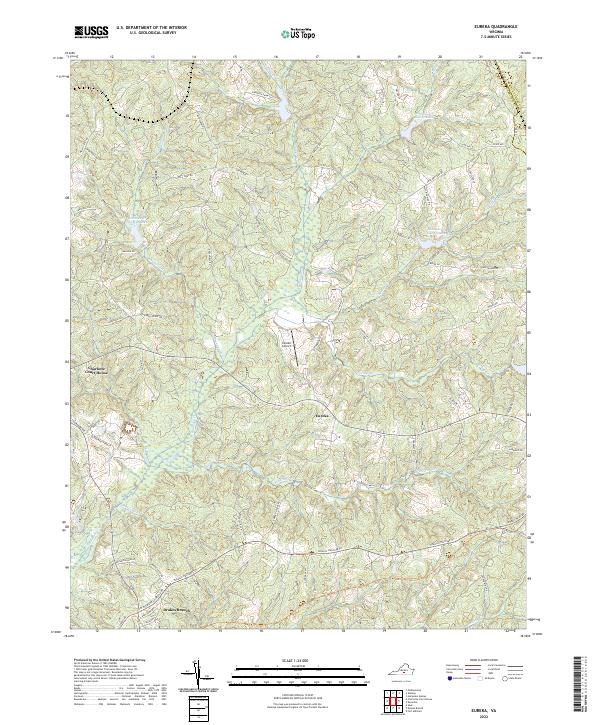
2022 Eureka
Charlotte County, VA
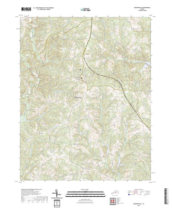
2022 Madisonville
Charlotte County, VA
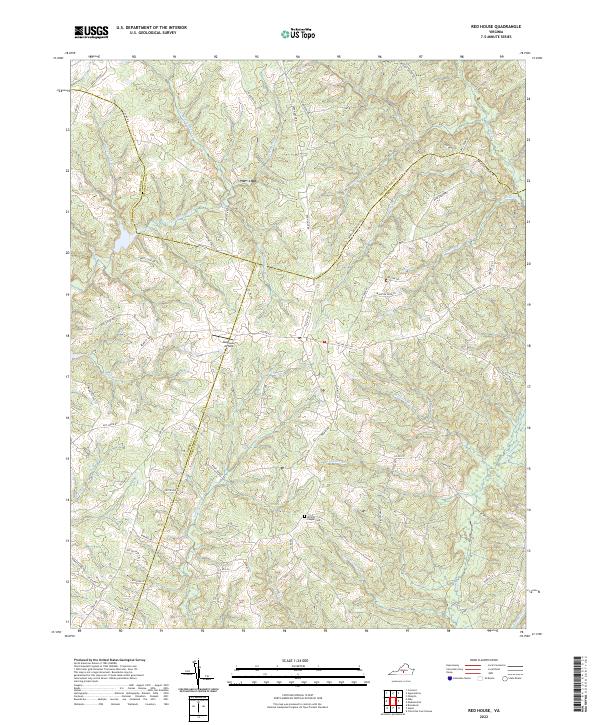
2022 Red House
Charlotte County, VA
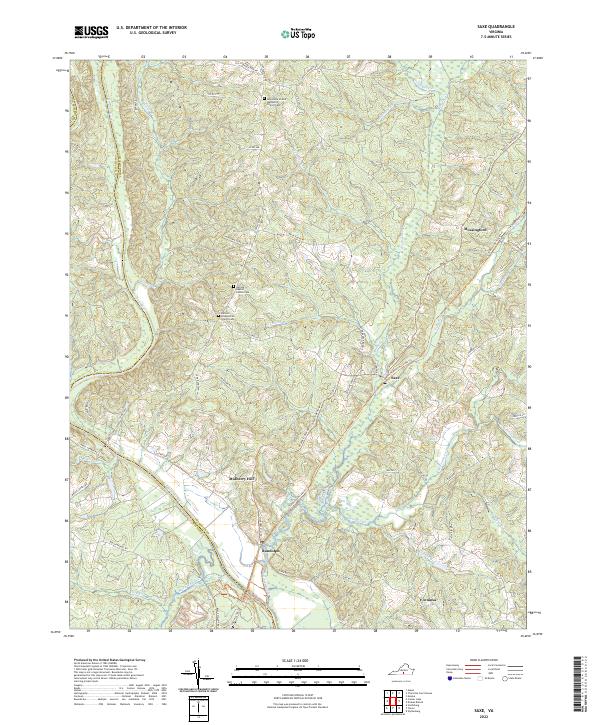
2022 Saxe
Charlotte County, VA
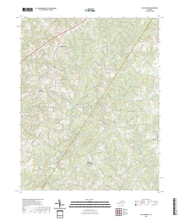
2022 Wylliesburg
Charlotte County, VA