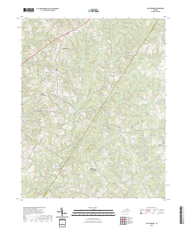
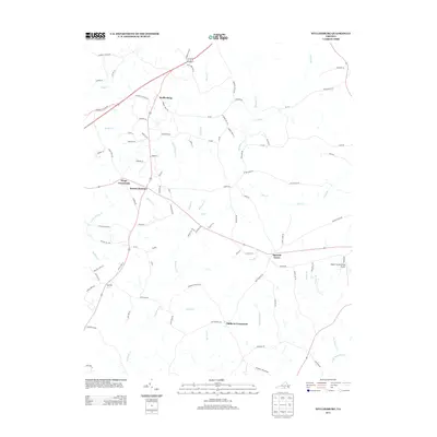
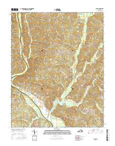
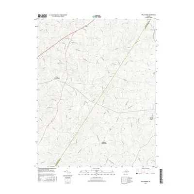
2022 Map of Wylliesburg
USGS Topo · Published 2022About this map
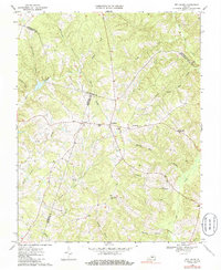
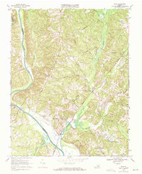
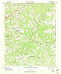
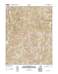
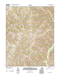
Wylliesburg serves as a central hub in this Virginia landscape, where rural routes connect small crossroads communities near the border of Charlotte County and Mecklenburg County. The topography is defined by an intricate network of waterways, most notably the wide drainage of Bluestone Creek and its many tributaries like Otter Creek and Peckerwood Branch. These streams carve through the terrain, creating a pattern of ridges and valleys that has historically dictated the placement of homesteads and local roads.
Find a feature on this map
87 named features on this map. Tap any name to fly to it.
Don’t see what you’re looking for? This feature index may not catch every label — zoom into the map to look around manually.
Map Details
Editions of this 2022 Wylliesburg Map
This is the sole edition of this map. No revisions or reprints were ever made.
Historical Maps of Wylliesburg Through Time
36 maps found
1968 Aspen
Charlotte County, VA
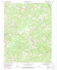
1968 Eureka
Charlotte County, VA
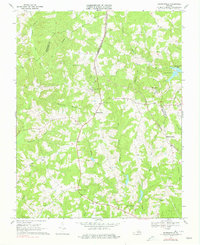
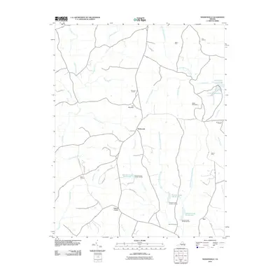
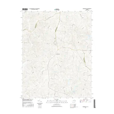
1968 Madisonville
Charlotte County, VA
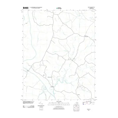
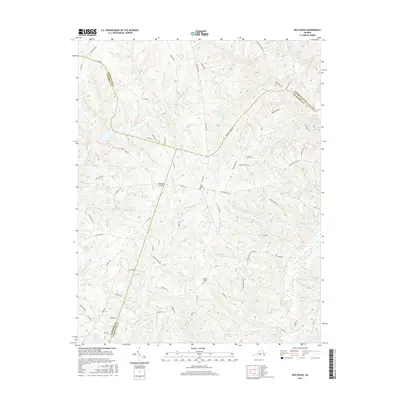
1968 Red House
Charlotte County, VA
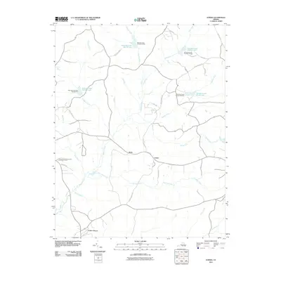
1968 Saxe
Charlotte County, VA
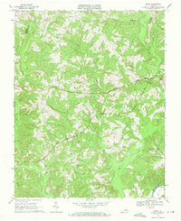
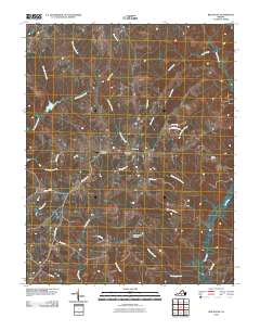
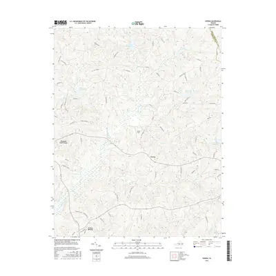
1968 Wylliesburg
Charlotte County, VA
2010 Aspen
Charlotte County, VA
2010 Eureka
Charlotte County, VA
2010 Madisonville
Charlotte County, VA
2010 Red House
Charlotte County, VA
2010 Saxe
Charlotte County, VA

2010 Wylliesburg
Charlotte County, VA

2013 Aspen
Charlotte County, VA

2013 Eureka
Charlotte County, VA
2013 Madisonville
Charlotte County, VA
2013 Red House
Charlotte County, VA

2013 Saxe
Charlotte County, VA
2013 Wylliesburg
Charlotte County, VA
2016 Aspen
Charlotte County, VA
2016 Eureka
Charlotte County, VA
2016 Madisonville
Charlotte County, VA
2016 Red House
Charlotte County, VA
2016 Saxe
Charlotte County, VA
2016 Wylliesburg
Charlotte County, VA

2019 Aspen
Charlotte County, VA
2019 Eureka
Charlotte County, VA
2019 Madisonville
Charlotte County, VA

2019 Red House
Charlotte County, VA
2019 Saxe
Charlotte County, VA

2019 Wylliesburg
Charlotte County, VA
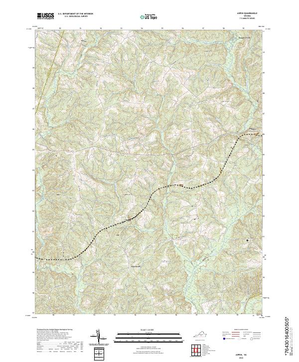
2022 Aspen
Charlotte County, VA
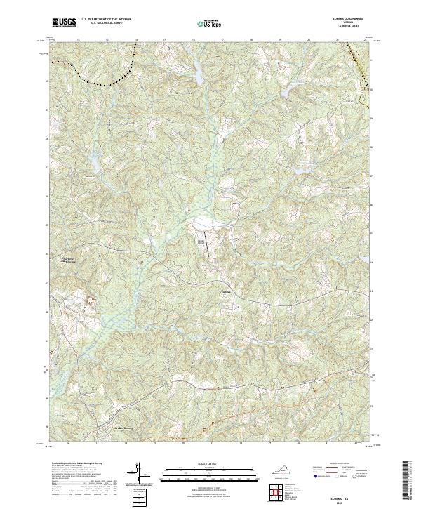
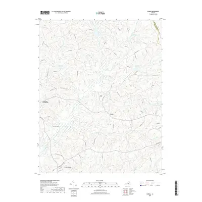
2022 Eureka
Charlotte County, VA
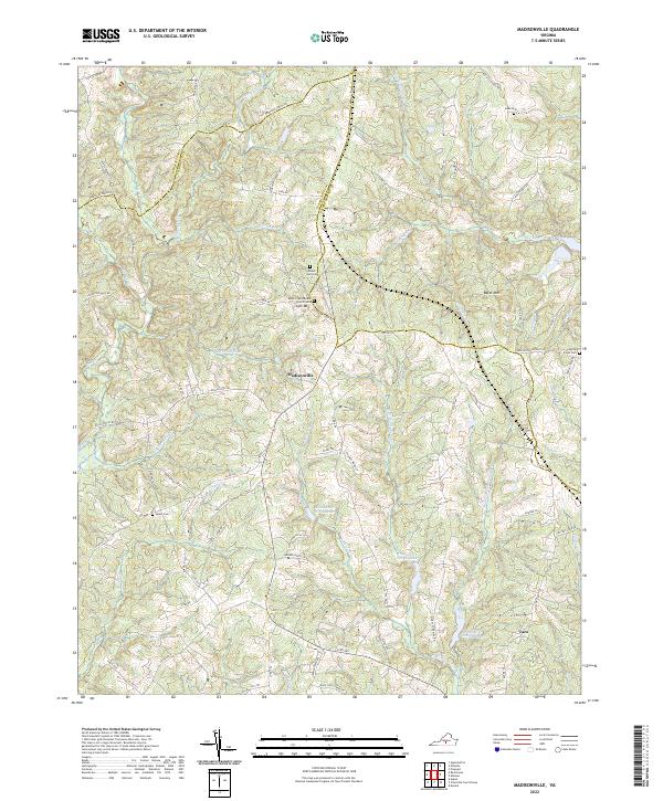
2022 Madisonville
Charlotte County, VA
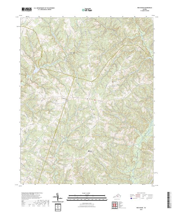
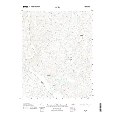
2022 Red House
Charlotte County, VA
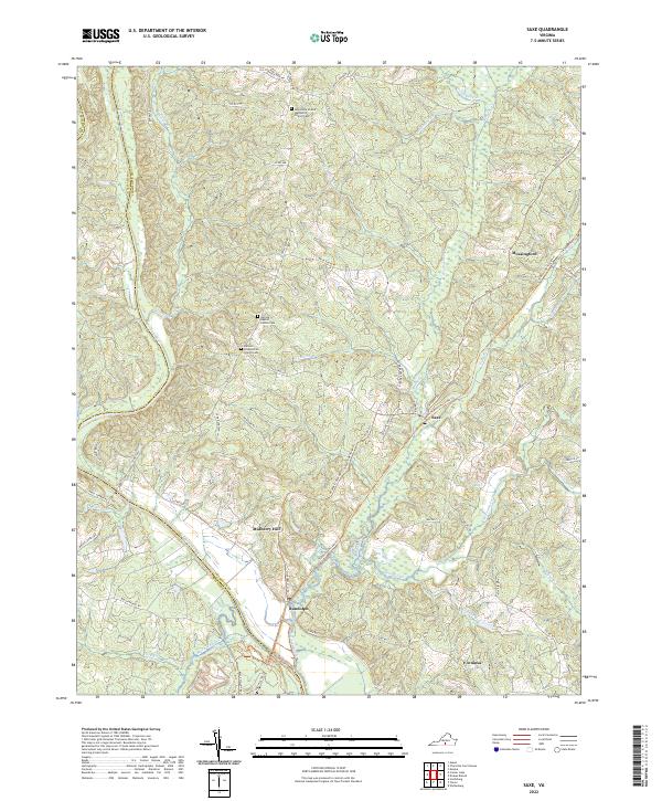
2022 Saxe
Charlotte County, VA
2022 Wylliesburg
Charlotte County, VA