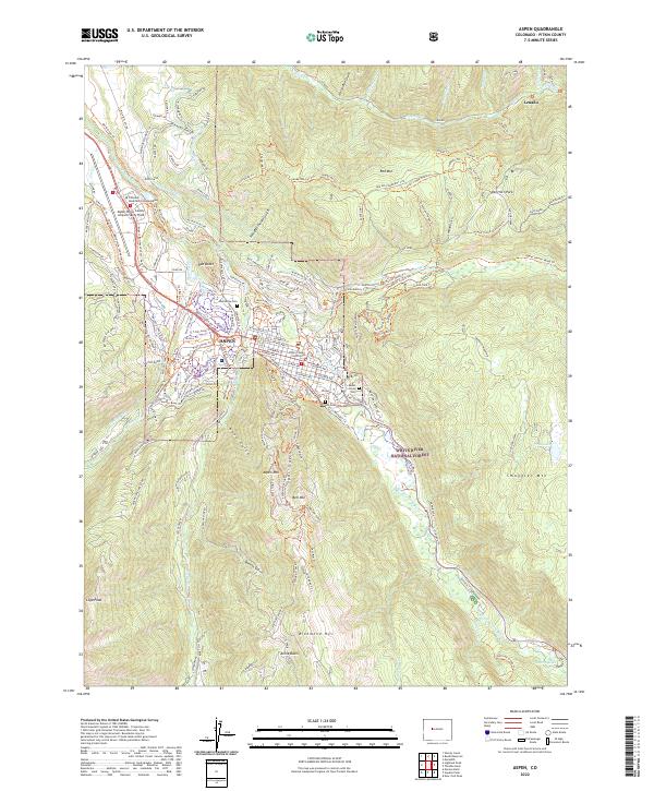
2022 Map of Aspen
USGS Topo · Published 2022About this map
Aspen serves as the focal point of this mountain landscape, where the confluence of Castle Creek and the Roaring Fork River defines the valley floor. The map documents the community's evolution, showing the complex web of recreational trails and irrigation infrastructure like the Salvation Ditch and Wheeler Ditch that weave through the residential and commercial blocks. To the west, Aspen-Pitkin County Airport/Sardy Field and the Airport Business Center mark the modern infrastructure essential to the region's accessibility.
Find a feature on this map
177 named features on this map. Tap any name to fly to it.
Don’t see what you’re looking for? This feature index may not catch every label — zoom into the map to look around manually.
Map Details
Editions of this 2022 Aspen Map
This is the sole edition of this map. No revisions or reprints were ever made.
Other maps of this area

1893 · Aspen
USGS Topo · 1:62,500

1895 · Aspen
USGS Topo · 1:62,500

1909 · Mount Jackson
USGS Topo · 1:125,000

1911 · Mount Jackson
USGS Topo · 1:125,000

1957 · Leadville
USGS Topo · 1:250,000

1959 · Leadville
USGS Topo · 1:250,000

1960 · Leadville
USGS Topo · 1:250,000

1960 · Highland Peak
USGS Topo · 1:24,000

1960 · Maroon Bells
USGS Topo · 1:24,000
1960 · Hayden Peak
USGS Topo · 1:24,000