Loading...
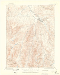
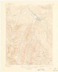
Loading map...1893 Map of Aspen
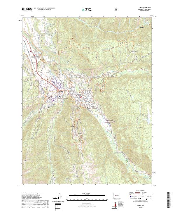
USGS Topo · Published 1962About this map
The silver mining boom of the late nineteenth century is the central focus of this survey, which documents Aspen at its peak of industrial activity before the silver crash. The town is situated at the confluence of Hunter Creek and the Roaring Fork, served by two major rail lines: the Denver and Rio Grande R.R. (Aspen Br.) and the A. T. and S. F. R. R. (Colorado Midland Div.). This network of iron and steam connected the remote mountain district to global markets.
Find a feature on this map
38 named features on this map. Tap any name to fly to it.
Don’t see what you’re looking for? This feature index may not catch every label — zoom into the map to look around manually.
Map Details
Date Portrayed1893
Date Published1962
PublisherU.S. Geological Survey
Map TypeTopographic
Scale1:62,500
Physical Dimensions17 x 21.1 inches
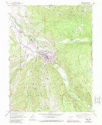
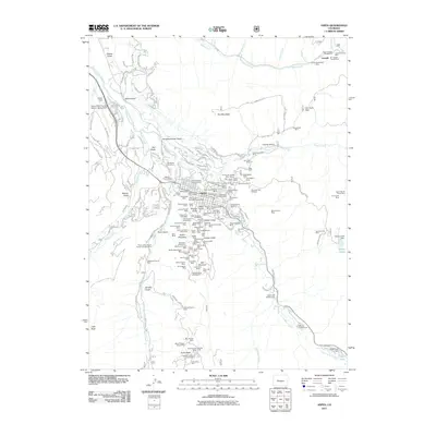
Editions of this 1893 Aspen Map
2 editions found

Historical Maps of Aspen Through Time
8 maps found
Featured Locations
Source Details
SourceU.S. Geological Survey
CopyrightPublic Domain