2024 Map of Athens East
USGS Topo · Published 2024About this map
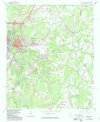
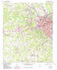
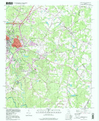
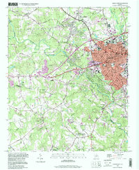
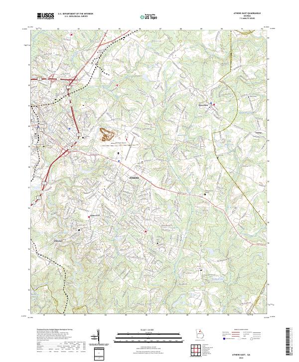
The North Oconee River and Middle Oconee River converge south of the city, defining a landscape where urban expansion meets established rural corridors. This 2024 survey documents the eastern reaches of Athens, including the commercial and civic core centered near the Clarke County Courthouse and the historical Jackson Street Cem. Significant institutional presence is noted at Athens Technical College, while the Athens/Ben Epps Airport serves as a major regional aviation hub.
Find a feature on this map
286 named features on this map. Tap any name to fly to it.
Don’t see what you’re looking for? This feature index may not catch every label — zoom into the map to look around manually.
Map Details
Editions of this 2024 Athens East Map
This is the sole edition of this map. No revisions or reprints were ever made.
Historical Maps of Eastmeadow Through Time
6 maps found