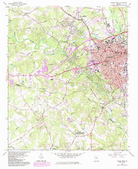
1964 Map of Athens West
USGS Topo · Published 1984About this map
The western expansion of Athens and the surrounding rural landscape of Clarke and Oconee counties are captured here as they appeared in the early 1960s, with updates into the 1980s. A distinct military presence is visible at the US Naval Supply Corps School, while the academic and agricultural influence of the region is grounded by the US Dept of Agriculture Experimental Station and the Univ of Georgia (Whitehall Farm) further south. The Middle Oconee River winds through the center of the sheet, dividing residential development from the agricultural lands. Local heritage is preserved in the numerous community landmarks such as Chestnut Grove Ch, Mars Hill Ch, and the Robinson Cem. Transportation corridors like the Seaboard Coast Line RR and Southern RR intersect the area, illustrating the rail-linked economy that supported the growth of outlying communities like Oconee Heights and Watkinsville.
Find a feature on this map
132 named features on this map. Tap any name to fly to it.
Don’t see what you’re looking for? This feature index may not catch every label — zoom into the map to look around manually.
Map Details
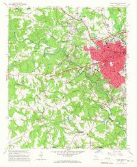
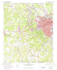
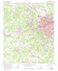
Editions of this 1964 Athens West Map
5 editions found
Other maps of this area

1891 · Gainesville
USGS Topo · 1:125,000

1891 · Carnesville
USGS Topo · 1:125,000

1896 · Monroe
USGS Topo · 1:125,000

1953 · Athens
USGS Topo · 1:250,000

1954 · Greenville
USGS Topo · 1:250,000

1958 · Greenville
USGS Topo · 1:250,000

1958 · Athens
USGS Topo · 1:250,000

1959 · Athens
USGS Topo · 1:250,000

1963 · Athens
USGS Topo · 1:250,000

1964 · Athens West
USGS Topo · 1:24,000