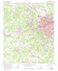
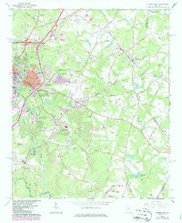
1964 Map of Athens West
USGS Topo · Published 1974About this map
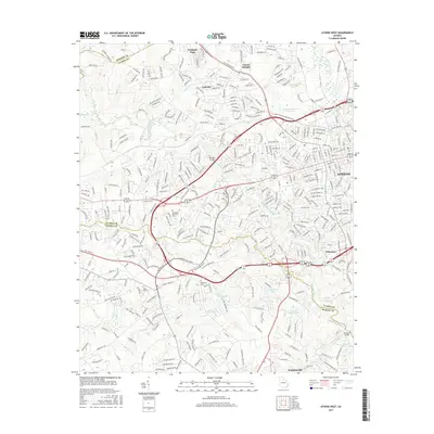
The Middle Oconee River and Oconee River define the landscape west of Athens, where suburban growth in the early 1960s begins to push into the agricultural countryside of Clarke and Oconee counties. The western edge of the city is a hub of education and defense, featuring the US Naval Supply Corps School and the Univ of Georgia (Whitehall Farm), alongside numerous local institutions like the Vocational Technical Sch and Alps Rd Sch.
Find a feature on this map
84 named features on this map. Tap any name to fly to it.
Don’t see what you’re looking for? This feature index may not catch every label — zoom into the map to look around manually.
Map Details
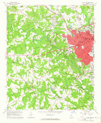
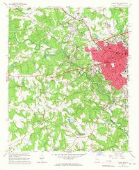
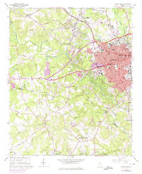
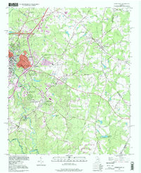
Editions of this 1964 Athens West Map
5 editions found
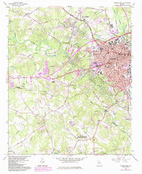
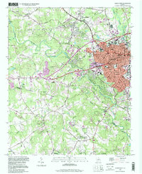
Historical Maps of Athens Through Time
14 maps found
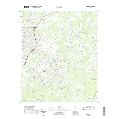
1964 Athens East
Clarke County, GA
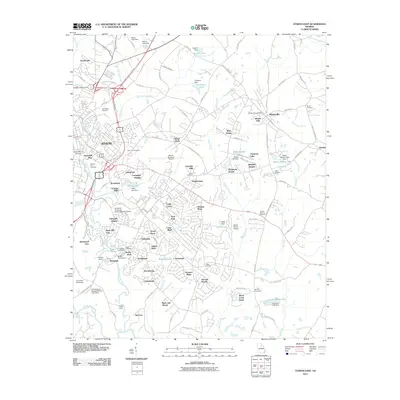
1964 Athens West
Clarke County, GA
1998 Athens East
Clarke County, GA
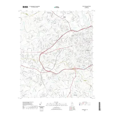
1998 Athens West
Clarke County, GA
2011 Athens East
Clarke County, GA
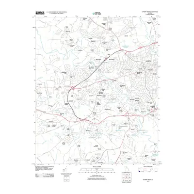
2011 Athens West
Clarke County, GA
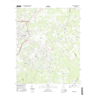
2014 Athens East
Clarke County, GA
2014 Athens West
Clarke County, GA
2017 Athens East
Clarke County, GA
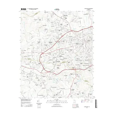
2017 Athens West
Clarke County, GA
2020 Athens East
Clarke County, GA
2020 Athens West
Clarke County, GA
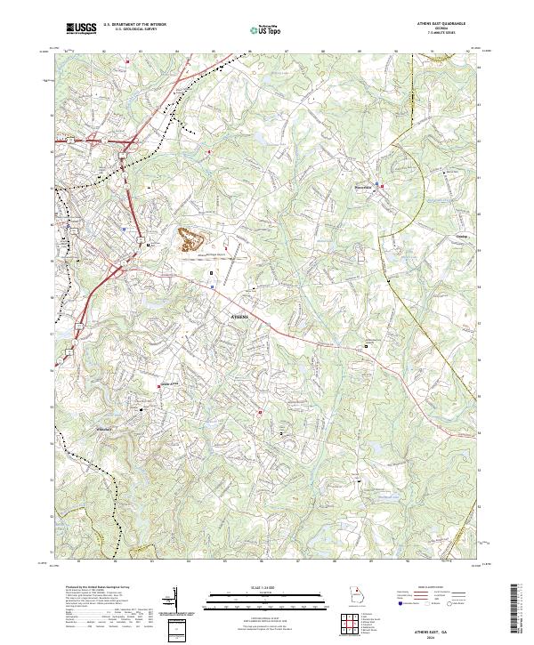
2024 Athens East
Clarke County, GA
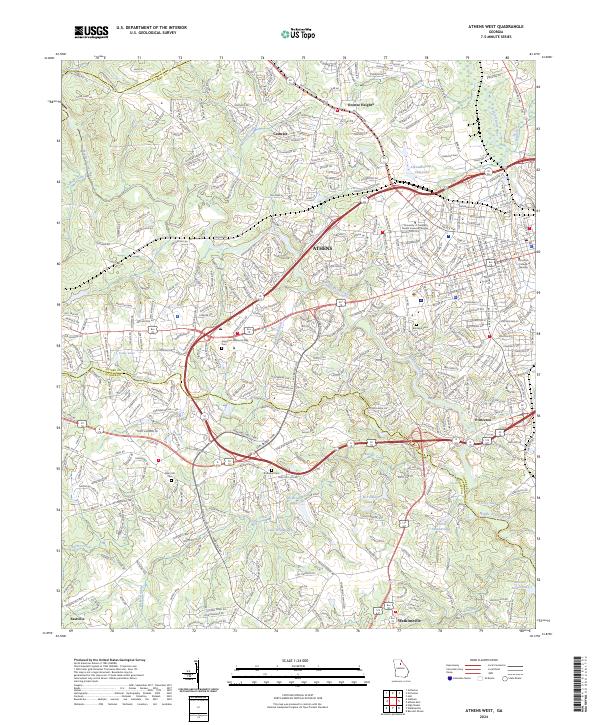
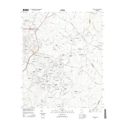
2024 Athens West
Clarke County, GA