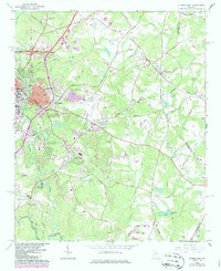
1964 Map of Athens East
USGS Topo · Published 1986About this map
The North Fork Oconee River and the Middle Oconee River converge here, framing the eastern expansion of Athens and its nearby university facilities. This mid-century landscape is defined by its educational and research institutions, including the sprawling University of Georgia Poultry Research Center and the University of Georgia School of Forestry at Whitehall. To the east, the rural community of Winterville is centered at the junction of the Smithonia Road and the Seaboard Coast Line railroad. Genealogy and local history are preserved through numerous family and community sites like the Oconee Hill Cemetery and rural churches such as Tuckston Ch and New Grove Ch. The map also captures the Athens Municipal Airport and residential developments like Green Acres, illustrating the city's mid-century growth pattern toward the Oglethorpe County line.
Find a feature on this map
56 named features on this map. Tap any name to fly to it.
Don’t see what you’re looking for? This feature index may not catch every label — zoom into the map to look around manually.
Map Details
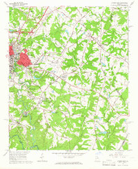
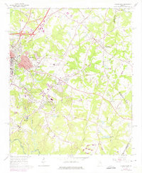
Editions of this 1964 Athens East Map
Other maps of this area

1891 · Carnesville
USGS Topo · 1:125,000

1953 · Athens
USGS Topo · 1:250,000

1954 · Greenville
USGS Topo · 1:250,000

1958 · Greenville
USGS Topo · 1:250,000

1958 · Athens
USGS Topo · 1:250,000

1958 · Danielsville
USGS Topo · 1:62,500

1959 · Athens
USGS Topo · 1:250,000

1963 · Athens
USGS Topo · 1:250,000

1964 · Athens West
USGS Topo · 1:24,000

1964 · Barnett Shoals
USGS Topo · 1:24,000