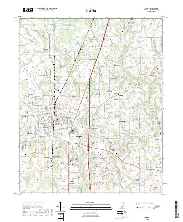
2024 Map of Athens
USGS Topo · Published 2024About this map
Athens serves as the focal point of this Limestone County landscape, where the historic core around the Limestone County Courthouse and Athens State University meets expanding residential developments. The area is characterized by a dense concentration of lineage-rich sites, including the Old City Cem, the Slave Cem to the north, and various family-named burial grounds like the Malone Cem and Hughey Cem. These markers of early settlement are interspersed among a network of waterways such as Swan Creek and Piney Creek.
Find a feature on this map
238 named features on this map. Tap any name to fly to it.
Don’t see what you’re looking for? This feature index may not catch every label — zoom into the map to look around manually.
Map Details
Editions of this 2024 Athens Map
This is the sole edition of this map. No revisions or reprints were ever made.
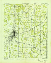
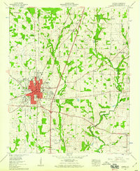
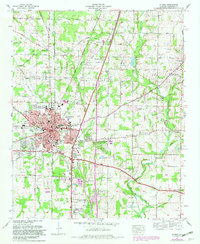
Historical Maps of Oakdale Through Time
4 maps found