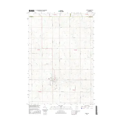
2015 Map of Athens
USGS Topo · Published 2015About this map
Athens serves as the central hub for this portion of Marathon County, situated at the confluence of several small watercourses including Black Creek and Potato Cr. The town's grid is clearly defined by local thoroughfares such as Elm St and Kreutzer St, showing the compact residential and commercial development typical of Wisconsin dairy country. The surrounding landscape is a complex drainage network where the Big Rib River cuts through the northeast, fed by numerous creeks like Baldwin Cr and Stony Cr.
Find a feature on this map
61 named features on this map. Tap any name to fly to it.
Don’t see what you’re looking for? This feature index may not catch every label — zoom into the map to look around manually.
Map Details
Editions of this 2015 Athens Map
This is the sole edition of this map. No revisions or reprints were ever made.
Other maps of this area

1902 · Marathon
USGS Topo · 1:125,000

1951 · Athens
USGS Topo · 1:48,000

1951 · Hamburg
USGS Topo · 1:48,000

1953 · Marathon
USGS Topo · 1:48,000

1953 · Stratford
USGS Topo · 1:48,000

1953 · Eau Claire
USGS Topo · 1:250,000

1953 · Rice Lake
USGS Topo · 1:250,000

1954 · Iron Mountain
USGS Topo · 1:250,000

1955 · Green Bay
USGS Topo · 1:250,000

1958 · Eau Claire
USGS Topo · 1:250,000