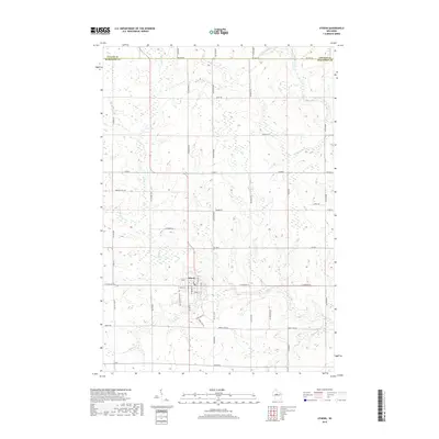
2018 Map of Athens
USGS Topo · Published 2018About this map
Athens serves as the central hub of this northern Marathon County landscape, situated where Potato Cr flows through the village toward the south. The area is defined by its organized grid of agricultural roads, such as Rangeline Rd and Bungalow Rd, which navigate a terrain carved by numerous small waterways. In the northeastern corner, the Big Rib River cuts a prominent path across the county line, joined by tributaries like Stony Cr and Baldwin Cr. Significant local landmarks include the small Lake Allu to the northwest and a network of namesake roads like Iron Bridge Rd and Windfall Hill Rd, reflecting a rural Wisconsin community deeply integrated with its hydrography and farm-to-market transportation system. The map also delineates the jurisdictional meeting points of Taylor, Lincoln, and Marathon counties.
Find a feature on this map
54 named features on this map. Tap any name to fly to it.
Don’t see what you’re looking for? This feature index may not catch every label — zoom into the map to look around manually.
Map Details
Editions of this 2018 Athens Map
This is the sole edition of this map. No revisions or reprints were ever made.
Other maps of this area

1902 · Marathon
USGS Topo · 1:125,000

1951 · Athens
USGS Topo · 1:48,000

1951 · Hamburg
USGS Topo · 1:48,000

1953 · Marathon
USGS Topo · 1:48,000

1953 · Stratford
USGS Topo · 1:48,000

1953 · Eau Claire
USGS Topo · 1:250,000

1953 · Rice Lake
USGS Topo · 1:250,000

1954 · Iron Mountain
USGS Topo · 1:250,000

1955 · Green Bay
USGS Topo · 1:250,000

1958 · Eau Claire
USGS Topo · 1:250,000