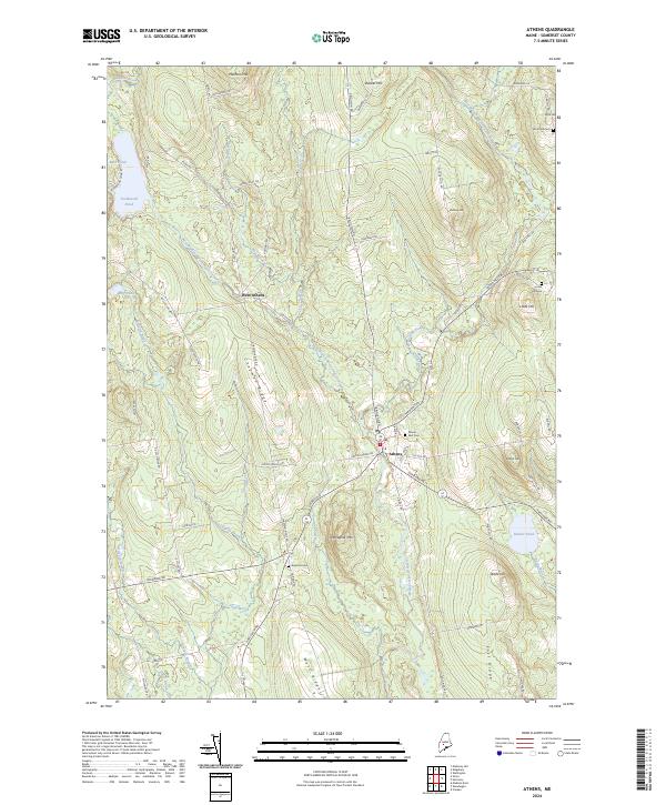
2024 Map of Athens
USGS Topo · Published 2024About this map
Athens and West Athens anchor this Somerset County landscape where the terrain is defined by a series of north-south running elevations, most notably Chapman Ridge and Porcupine Mtn. The hydrology is equally structured, with the West Branch Wesserunsett Stream and East Branch Wesserunsett Stream converging to form the main Wesserunsett Stream south of the primary settlement. Local history and genealogy are well-preserved through several family and community burial grounds, including Mount Rest Cem and Kinsman Cem. The road network, including the winding Brighton Rd and Hartland Rd, follows the natural contours of the ridges and valleys, illustrating how the physical geography shaped the development and connectivity of these rural Maine communities into the twenty-first century.
Find a feature on this map
74 named features on this map. Tap any name to fly to it.
Don’t see what you’re looking for? This feature index may not catch every label — zoom into the map to look around manually.
Map Details
Editions of this 2024 Athens Map
This is the sole edition of this map. No revisions or reprints were ever made.
Other maps of this area

1903 · Bingham
USGS Topo · 1:62,500

1904 · Anson
USGS Topo · 1:62,500

1905 · Bingham
USGS Topo · 1:62,500

1913 · Skowhegan
USGS Topo · 1:62,500

1948 · Bangor
USGS Topo · 1:250,000

1948 · Kingsbury
USGS Topo · 1:62,500

1950 · Kingsbury
USGS Topo · 1:62,500

1954 · Millinocket
USGS Topo · 1:250,000

1955 · Anson
USGS Topo · 1:62,500

1955 · Skowhegan
USGS Topo · 1:62,500