
1955 Map of Skowhegan
USGS Topo · Published 1958About this map
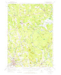
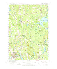
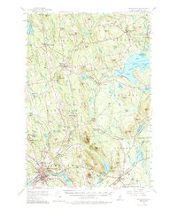
Skowhegan serves as the industrial and population anchor of this mid-century Somerset County landscape, situated along the Sebasticook River and the Maine Central rail line. The map reveals a transition between established town centers and a rural interior defined by local education and industry, such as Somerset Academy in Athens and various milling operations like Malbons Mills and Waltons Mill. Genealogy researchers will find several scattered schoolhouses, including the Whittier Sch and Cleveland Sch, alongside numerous family-named cemeteries such as Kinsman Cem and Chadborne Cem.
Find a feature on this map
150 named features on this map. Tap any name to fly to it.
Don’t see what you’re looking for? This feature index may not catch every label — zoom into the map to look around manually.
Map Details
Editions of this 1955 Skowhegan Map
4 editions found
Other maps of this area

1892 · Waterville
USGS Topo · 1:62,500

1894 · Norridgewock
USGS Topo · 1:62,500

1898 · Norridgewock
USGS Topo · 1:62,500

1903 · Bingham
USGS Topo · 1:62,500

1904 · Anson
USGS Topo · 1:62,500

1905 · Bingham
USGS Topo · 1:62,500

1913 · Skowhegan
USGS Topo · 1:62,500

1926 · Burnham
USGS Topo · 1:62,500

1930 · Pittsfield
USGS Topo · 1:48,000

1932 · Pittsfield
USGS Topo · 1:62,500