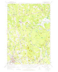
1955 Map of Skowhegan
USGS Topo · Published 1965About this map
Skowhegan serves as the focal point of this mid-century landscape, situated along a bend in the Kennebec River where industrial and civic life intersect. The presence of the Central Maine Railroad and landmarks like the Cummings Art Sch, Memorial Field, and Coburn Park reflect a developed regional hub. North of the river, the terrain transitions into a patchwork of rural townships including Athens, Harmony, and Cornville.
Find a feature on this map
155 named features on this map. Tap any name to fly to it.
Don’t see what you’re looking for? This feature index may not catch every label — zoom into the map to look around manually.
Map Details
Editions of this 1955 Skowhegan Map
4 editions found

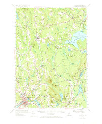
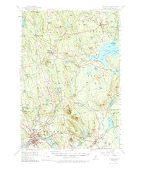
Other maps of this area

1892 · Waterville
USGS Topo · 1:62,500

1894 · Norridgewock
USGS Topo · 1:62,500

1898 · Norridgewock
USGS Topo · 1:62,500

1903 · Bingham
USGS Topo · 1:62,500

1904 · Anson
USGS Topo · 1:62,500

1905 · Bingham
USGS Topo · 1:62,500

1913 · Skowhegan
USGS Topo · 1:62,500

1926 · Burnham
USGS Topo · 1:62,500

1930 · Pittsfield
USGS Topo · 1:48,000

1932 · Pittsfield
USGS Topo · 1:62,500