2024 Map of Attleboro
USGS Topo · Published 2024About this map
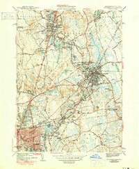
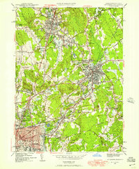
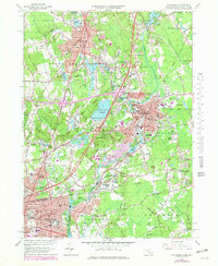
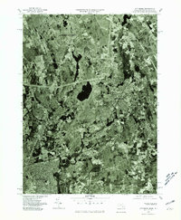
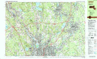
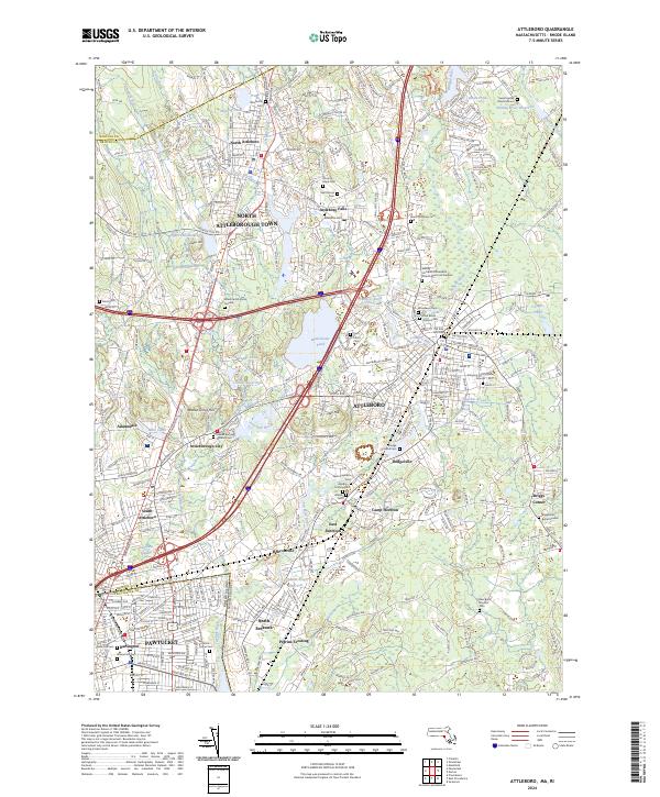
The Ten Mile River and Sevenmile River systems anchor this study of the industrial and residential corridors between Attleboro and Pawtucket in the 2020s. The landscape is dense with historical burial sites, ranging from the colonial-era Woodcock Cem to numerous private family plots like the Mann Family Burial Ground and the Sweet Family Burial Ground. These markers reflect centuries of settlement across Attleborough Town and its surrounding villages. In the north, the North-Attleboro National Fish Hatchery remains a significant federal footprint near the Bungay River. The modern transport network, dominated by the junction of I-95 and I-295, cuts through established neighborhoods such as Attleboro Falls and Dodgeville, illustrating the evolution from water-powered mill settlements to an interstate-connected suburban hub. Finer details include distinctive natural features like Sweedens Swamp and the elevated Walnut Grove Hill.
Find a feature on this map
74 named features on this map. Tap any name to fly to it.
Don’t see what you’re looking for? This feature index may not catch every label — zoom into the map to look around manually.
Map Details
Editions of this 2024 Attleboro Map
This is the sole edition of this map. No revisions or reprints were ever made.
Historical Maps of Pawtucket Through Time
6 maps found