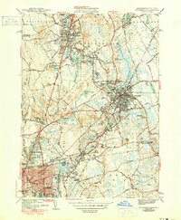
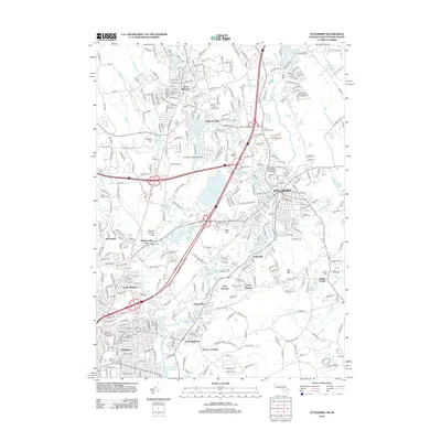
1964 Map of Attleboro
USGS Topo · Published 1979About this map
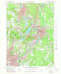
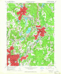
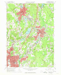
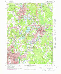
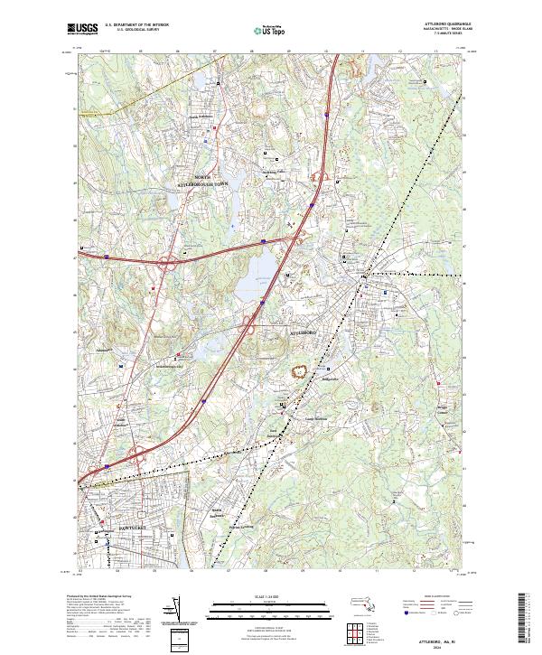
The industrial and residential heart of the Tenmile River valley is captured here during a period of significant infrastructure expansion. While the traditional cores of North Attleboro, Attleboro Falls, and Attleboro remain dense with community landmarks like St Johns Cem and the Sturdy Mem Hospital, the landscape is increasingly defined by the massive interchanges of Interstate 95 and Interstate 295. These modern corridors cut through areas once dominated by local waterworks like Manchester Pond Reservoir and Orrs Pond.
Find a feature on this map
106 named features on this map. Tap any name to fly to it.
Don’t see what you’re looking for? This feature index may not catch every label — zoom into the map to look around manually.
Map Details
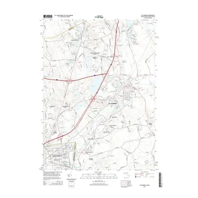
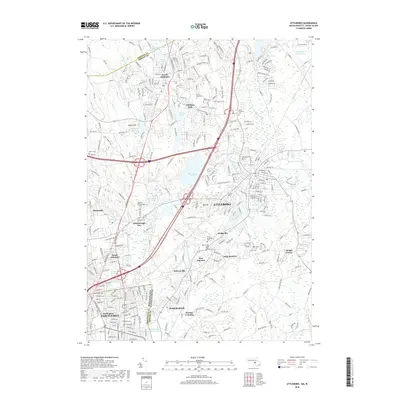
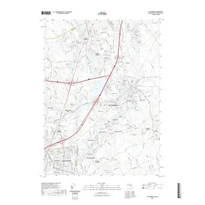
Editions of this 1964 Attleboro Map
4 editions found
Historical Maps of Pawtucket Through Time
10 maps found
1943 Attleboro
Bristol County, MA
1949 Attleboro
Bristol County, MA
1964 Attleboro
Bristol County, MA
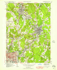
1977 Attleboro
Bristol County, MA
1987 Attleboro
Bristol County, MA
2012 Attleboro
Bristol County, MA
2015 Attleboro
Bristol County, MA
2018 Attleboro
Bristol County, MA
2021 Attleboro
Bristol County, MA
2024 Attleboro
Bristol County, MA