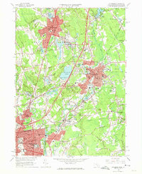
1964 Map of Attleboro
USGS Topo · Published 1974About this map
Attleboro and Pawtucket anchor this industrial landscape during the mid-1960s, a period defined by established manufacturing centers and expanding suburban neighborhoods along the Massachusetts Rhode Island border. The Ten Mile River and Bungay River systems provided the water power that historically fueled the development of villages like Attleboro Falls, Dodgeville, and Hebronville. The dominance of the New York New Haven and Hartford RR is evident as it cuts through the heart of the region, connecting these mill towns to the broader Northeast corridor.
Find a feature on this map
68 named features on this map. Tap any name to fly to it.
Don’t see what you’re looking for? This feature index may not catch every label — zoom into the map to look around manually.
Map Details
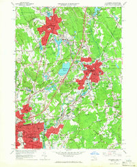
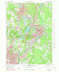
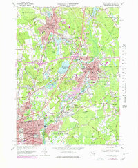
Editions of this 1964 Attleboro Map
4 editions found
Other maps of this area

1885 · Taunton
USGS Topo · 1:62,500

1886 · Dedham
USGS Topo · 1:62,500

1887 · Franklin
USGS Topo · 1:62,500

1887 · Providence
USGS Topo · 1:62,500

1888 · Taunton
USGS Topo · 1:62,500

1889 · Providence
USGS Topo · 1:62,500

1889 · Franklin
USGS Topo · 1:62,500

1893 · Taunton
USGS Topo · 1:62,500

1893 · Franklin
USGS Topo · 1:62,500

1894 · Dedham
USGS Topo · 1:62,500