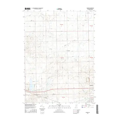
2016 Map of Atwood
USGS Topo · Published 2016About this map
Atwood and the western edge of Warsaw anchor this survey of Kosciusko County, Indiana, where a complex network of agricultural drainage ditches and natural waterways defines the landscape. The Tippecanoe River flows through the southeastern corner, near the curiously labeled Old Channel Kankakee River, suggesting a legacy of significant hydrological management in this region. This interplay between the natural course of the river and man-made features like Dausman Ditch and Pale Run Ditch reflects the intensive land use required for farming in Northern Indiana.
Find a feature on this map
53 named features on this map. Tap any name to fly to it.
Don’t see what you’re looking for? This feature index may not catch every label — zoom into the map to look around manually.
Map Details
Editions of this 2016 Atwood Map
This is the sole edition of this map. No revisions or reprints were ever made.
Other maps of this area

1950 · Leesburg
USGS Topo · 1:24,000

1951 · Milford
USGS Topo · 1:24,000

1953 · Fort Wayne
USGS Topo · 1:250,000

1953 · Chicago
USGS Topo · 1:250,000

1956 · Fort Wayne
USGS Topo · 1:250,000

1957 · Chicago
USGS Topo · 1:250,000

1957 · Warsaw
USGS Topo · 1:24,000

1958 · Nappanee West
USGS Topo · 1:24,000

1958 · Nappanee East
USGS Topo · 1:24,000

1958 · Bourbon
USGS Topo · 1:24,000