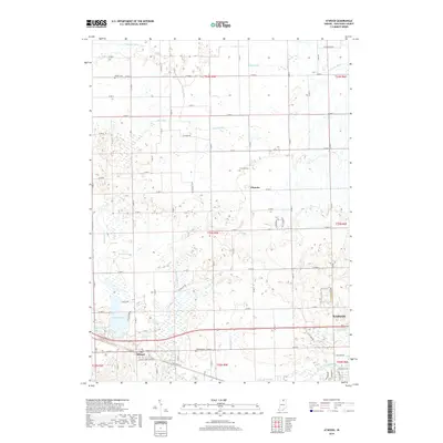
2019 Map of Atwood
USGS Topo · Published 2019About this map
Atwood and the western edge of Warsaw anchor this section of northern Indiana, where the landscape is defined by an intricate network of waterways managed for drainage and irrigation. The terrain is crisscrossed by systems like Dausman Ditch, Fleugel Ditch, and Truax Ditch, which feed into larger arteries such as the Tippecanoe River. Significant water bodies like Hoffman Lake remain prominent features amidst the agricultural grid. Historical burial grounds, including Graber Cem and Clunette Cem, provide specific points of interest for genealogists tracing local families near the settlement of Clunette. The presence of the Old Channel Kankakee River suggests the long-term hydrological engineering that has reshaped Kosciusko County since the nineteenth century, as farmers worked to reclaim land from the naturally marshy conditions of the region.
Find a feature on this map
54 named features on this map. Tap any name to fly to it.
Don’t see what you’re looking for? This feature index may not catch every label — zoom into the map to look around manually.
Map Details
Editions of this 2019 Atwood Map
This is the sole edition of this map. No revisions or reprints were ever made.
Other maps of this area

1950 · Leesburg
USGS Topo · 1:24,000

1951 · Milford
USGS Topo · 1:24,000

1953 · Fort Wayne
USGS Topo · 1:250,000

1953 · Chicago
USGS Topo · 1:250,000

1956 · Fort Wayne
USGS Topo · 1:250,000

1957 · Chicago
USGS Topo · 1:250,000

1957 · Warsaw
USGS Topo · 1:24,000

1958 · Nappanee West
USGS Topo · 1:24,000

1958 · Nappanee East
USGS Topo · 1:24,000

1958 · Bourbon
USGS Topo · 1:24,000